
A successful neighborhood is rarely the result of one impressive building. When I study American communities that genuinely work, I look at the relationships between streets, homes, workplaces, parks, transit, retail, and public space.
The strongest neighborhood-scale urban design case studies show how those pieces can work together to transform former industrial land, abandoned infrastructure, or car-oriented districts into places where people can comfortably live, walk, work, and gather.
For U.S. cities, the challenge is especially interesting. Urban designers often have to navigate zoning rules, historic development patterns, market pressures, affordability concerns, transportation systems, environmental constraints, and public-private partnerships at the same time.
The Pearl District in Portland, Mueller in Austin, Playa Vista in Los Angeles, and Assembly Square in Somerville offer four different responses to those challenges.
What Makes a Neighborhood-Scale Urban Design Project Successful?
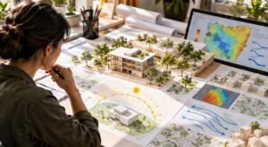
Neighborhood design operates between individual architecture and citywide planning. At this scale, planners must consider urban morphology, street networks, building density, pedestrian connectivity, mixed-use development, transit, public spaces, housing diversity, stormwater systems, and community amenities as one connected system.
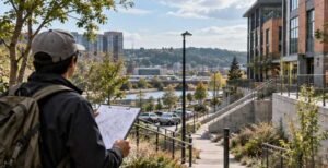
What interests me most is not whether a neighborhood looks attractive in photographs. I want to know whether people can reach everyday destinations easily, whether streets encourage walking, whether parks are integrated into daily life, whether housing accommodates different households, and whether development connects to the surrounding city instead of becoming an isolated enclave.
How Did Portland’s Pearl District Turn Industrial Land Into a Walkable Neighborhood?
Portland’s Pearl District remains one of America’s strongest examples of post-industrial urban regeneration. Once dominated by warehouses, rail infrastructure, and industrial uses, the district evolved into a higher-density neighborhood containing housing, restaurants, offices, retail, galleries, parks, and public transportation.
Density Incentives Helped Fund Public Benefits

A key lesson from the Pearl District is that density can become a planning tool rather than simply a development objective. Portland used zoning and development incentives to support greater floor area while linking redevelopment with public improvements and community benefits.
The neighborhood’s public realm is particularly important. Places such as Jamison Square function less like decorative landscaping and more like outdoor neighborhood living rooms.
Transit strengthened the transformation. Portland launched its modern streetcar system in 2001, serving downtown, Northwest Portland, and the developing Pearl District. The combination of compact blocks, higher-density housing, active ground floors, parks, and streetcar access reduced the need to organize the neighborhood entirely around automobiles.
Why Is Mueller in Austin a Model for Replacing Urban Sprawl?
Mueller shows what can happen when a city rethinks a large piece of obsolete infrastructure. The roughly 700-acre community occupies the former Robert Mueller Municipal Airport site and was planned as a mixed-income, mixed-use neighborhood rather than a conventional suburban subdivision.
Parks, Housing and Streets Work as One System
Mueller combines apartments, row homes, detached houses, employment areas, stores, trails, community facilities, and public spaces. One of its most notable planning decisions is the emphasis on nearby green space.
About 20 percent of the neighborhood is dedicated to parks and open space, and every resident is within approximately 600 feet of community green space. The wider park system includes trails and greenways that connect different portions of the development.
The project also demonstrates how housing policy can be integrated into master planning. Austin’s redevelopment framework included an affordable housing component alongside market-rate development.
For me, Mueller’s biggest lesson is that density alone does not create walkability. Street design, bicycle facilities, connected open spaces, housing variety, daily services, and short travel distances have to reinforce each other.
Can Playa Vista Make Los Angeles More Walkable?
Playa Vista offers a different challenge because it sits within one of America’s most automobile-oriented metropolitan regions.
Developed on land associated with the former Hughes Aircraft operation, Playa Vista mixes thousands of homes with offices, retail, community facilities, parks, and open spaces. Its planning strategy moves toward the idea of a 15-minute neighborhood by placing jobs, homes, shopping, recreation, and services closer together.
Mixed Uses and Green Infrastructure Support Daily Life

The development contains more than 6,000 homes, roughly 3 million square feet of creative office space, retail, community services, and substantial open space.
That mix is important because urban design becomes more walkable when people have reasons to make short trips throughout the day.
Playa Vista also illustrates how ecological systems can become part of neighborhood planning. Parks, open spaces, water-sensitive landscape strategies, and restored natural areas help strengthen the public realm while addressing environmental performance.
The takeaway is valuable for other Sun Belt and Western U.S. cities: car-oriented regional geography does not prevent individual neighborhoods from becoming more compact, mixed-use, and pedestrian-friendly.
How Did Transit Transform Assembly Square in Somerville?
Assembly Square demonstrates the power of transit-oriented development.
The Somerville district grew from former industrial land associated with a Ford assembly plant and rail infrastructure into a mixed-use neighborhood containing housing, offices, retail, public spaces, and major transportation connections.
Build Density Around Transit Instead of Parking Lots
The MBTA Assembly station on the Orange Line became a major anchor for redevelopment. Rather than creating a conventional suburban commercial district surrounded by surface parking, the neighborhood could support denser blocks around rapid transit.
Structured parking, active ground floors, residential development, offices, and public spaces help create a more pedestrian-oriented urban form.
Somerville’s current planning framework continues emphasizing transit access, connectivity, public space, housing, businesses, infrastructure, and affordable housing. The city’s neighborhood plan calls for affordable housing to represent 20 percent of new units while also improving public amenities and transportation connections.
Assembly Square shows that transportation infrastructure can shape land use rather than merely serve it.
What Do These U.S. Urban Design Case Studies Have in Common?
When I compare these neighborhood-scale urban design case studies, I see one consistent pattern: successful projects treat neighborhoods as interconnected systems.
Pearl District demonstrates how density incentives, public spaces, adaptive reuse, and streetcar investment can reinforce one another.
Mueller shows how an airport redevelopment can combine mixed-income housing, parks, bicycle infrastructure, compact development, and everyday amenities.
Playa Vista demonstrates how jobs-housing proximity, mixed uses, public space, and environmental design can create a more walkable district even within car-oriented Los Angeles.
Assembly Square shows how rapid transit can become the foundation for high-density redevelopment while reducing dependence on large surface parking areas.
None of these projects relies on a single design move.
How Should Architects and Planners Analyze Neighborhood Design Case Studies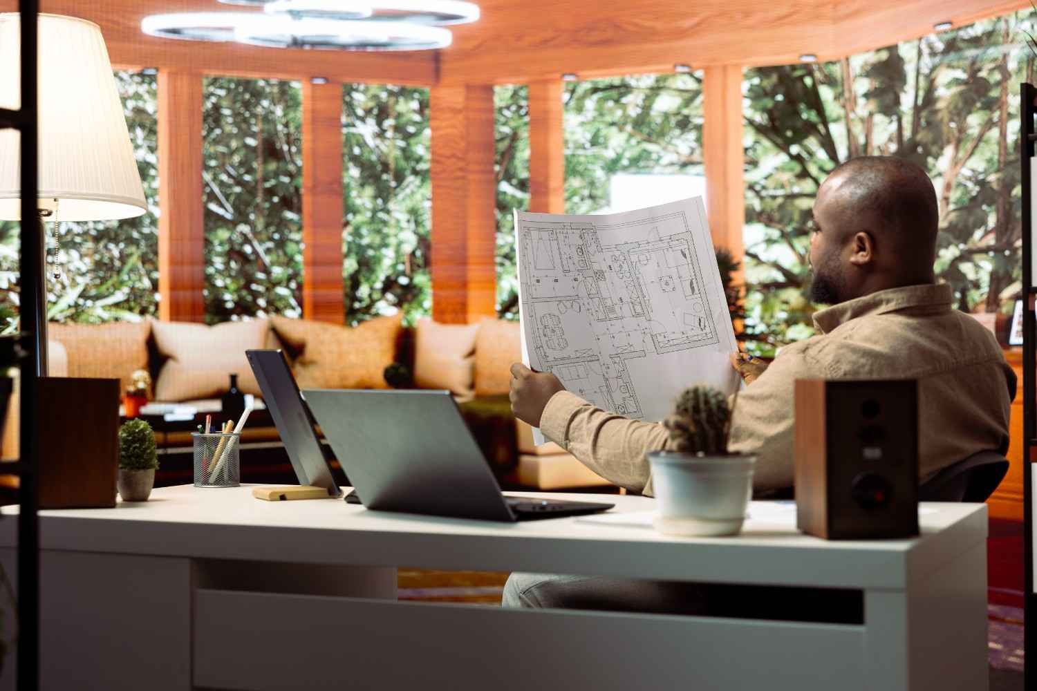
I recommend starting with the original site condition. Was the land industrial, suburban, abandoned, environmentally constrained, or occupied by obsolete infrastructure?
Next, examine the street grid, block dimensions, land-use mix, housing types, public realm, transit access, bicycle networks, density, parking strategy, landscape systems, and relationship with surrounding neighborhoods.
Then examine the planning mechanism behind the physical design. FAR incentives, affordable housing requirements, infrastructure investments, development agreements, transit expansion, zoning changes, and public-private partnerships can explain why a project took the form it did.
That deeper layer often separates useful precedent research from a simple collection of attractive project photographs.
Frequently Asked Questions (FAQs)
1. What is neighborhood-scale urban design?
Neighborhood-scale urban design examines how streets, buildings, parks, housing, transportation, businesses, and public facilities work together within a defined community rather than focusing on a single building.
2. What are the best U.S. neighborhood urban design examples?
The Pearl District in Portland, Mueller in Austin, Playa Vista in Los Angeles, and Assembly Square in Somerville are valuable examples because they demonstrate different approaches to industrial regeneration, airport reuse, mixed-use infill, and transit-oriented development.
3. Why is mixed-use development important in neighborhood planning?
Mixed-use development places housing closer to stores, employment, restaurants, services, parks, and other destinations. This can shorten trips, support walking, strengthen street activity, and reduce dependence on cars.
4. How does transit-oriented development improve neighborhoods?
Transit-oriented development concentrates housing, employment, retail, and public spaces around high-capacity transportation. When combined with pedestrian-friendly streets, it can support higher density without requiring every trip to depend on private automobiles.
5. What should an urban design case study analyze?
A useful case study should examine site context, street networks, block structure, urban morphology, density, land uses, housing, walkability, public space, transit, bicycle access, parking, environmental systems, planning policies, and measurable or observable neighborhood outcomes.
What Can U.S. Cities Learn From These Neighborhoods?
The biggest lesson from neighborhood-scale urban design case studies is that good urbanism depends on coordination.
A park works better when people can walk to it. Transit works better when housing and jobs surround it. Density works better when residents have usable public space. Mixed-use development works better when streets make short trips safe and comfortable.
Affordable housing works better when it is connected to the same amenities as market-rate development. Similar patterns appear in urban park revitalization case studies, where the strongest outcomes come from linking green space to transportation, housing, public life, and surrounding neighborhood needs.
For American cities trying to retrofit suburban corridors, reuse industrial sites, or create new mixed-use districts, these examples show that the neighborhood—not the individual building—is often the scale where urban design has its greatest everyday impact.