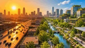
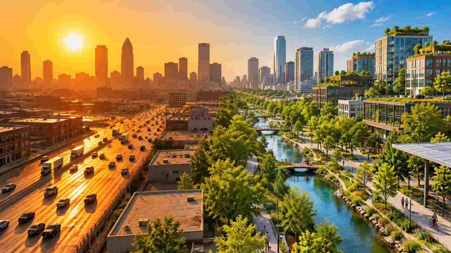
I started noticing how differently nearby streets feel on a hot afternoon. One has mature trees and shaded sidewalks; the next is mostly asphalt, glass, and parked cars. That contrast reflects choices about land, buildings, and the space cities leave for nature.
I have also seen urban heat treated as a weather problem rather than a planning problem. Air conditioning helps indoors, but it cannot fix an overheated bus stop or an exposed walk to school. Urban heat island mitigation through spatial planning makes cooler conditions part of everyday development decisions, before the next heat wave arrives.
Why Some Neighborhoods Hold More Heat
Urban heat islands form when buildings, roads, and other hard surfaces absorb and release more heat than vegetation and natural ground. Dark roofs and pavement store solar energy, while limited shade leaves people exposed. Closely spaced buildings can also reduce airflow or trap warm air, depending on their height, orientation, and surrounding street pattern.
Heat is unevenly distributed. Industrial areas, large parking lots, and low-canopy neighborhoods may become hotter than nearby districts. Older residents, outdoor workers, children, and people without reliable air conditioning can face greater risks. Citywide averages can hide these differences, so planning needs a neighborhood-scale view.
Make Green and Blue Infrastructure Part of the Plan
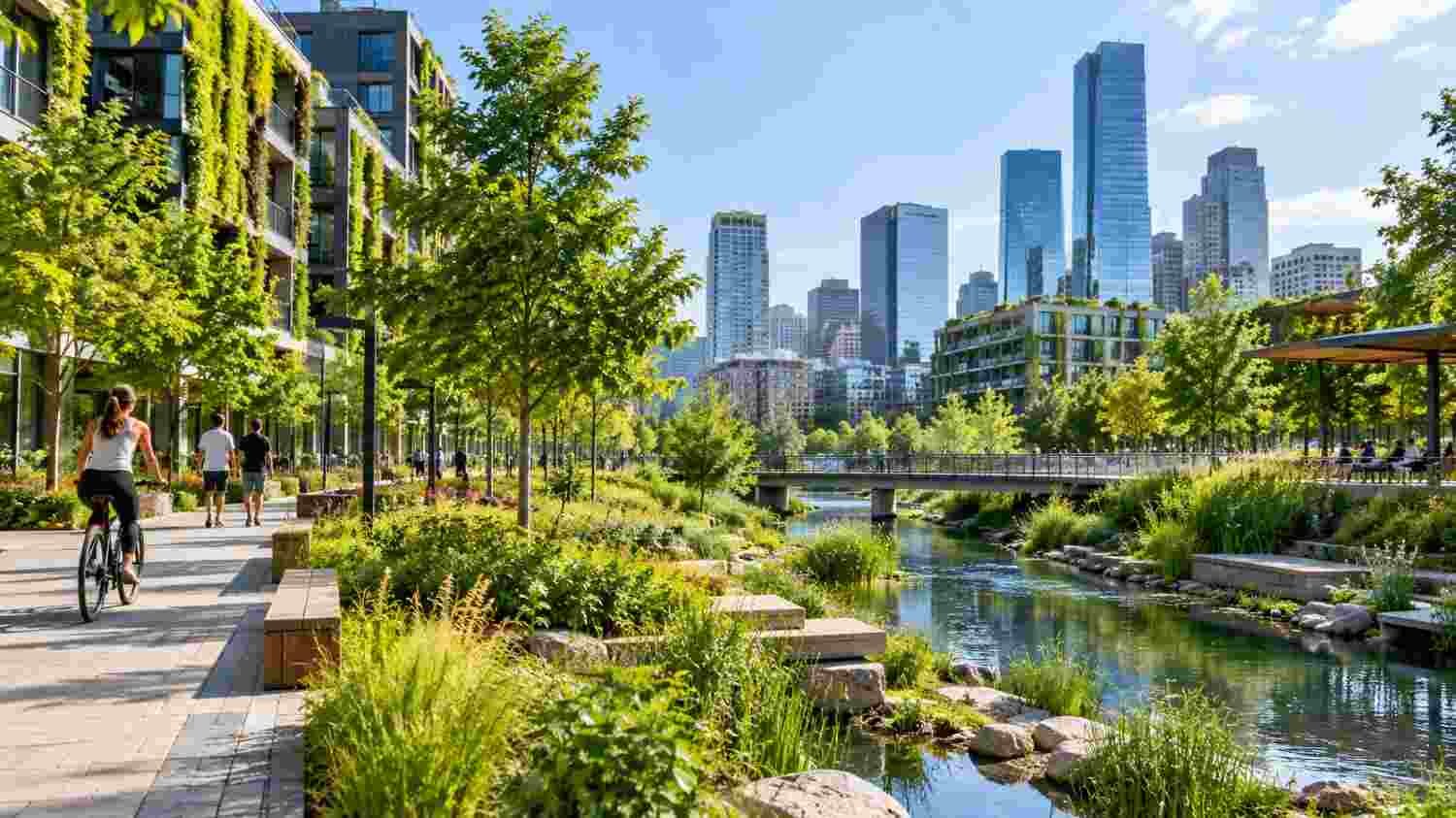
Parks and street trees cool places through shade and evapotranspiration, the process by which plants release water vapor. Green roofs can reduce roof temperatures, while connected green corridors help bring vegetation into dense areas where large parks may be difficult to add. Water features and restored streams can also cool some locations, although their benefits depend on local climate, water availability, and design.
The goal is not to scatter decorative trees across a map. Cities can protect mature canopy, require planting space in new developments, connect parks with shaded routes, and prioritize transit stops and school walks. Trees need room for roots, suitable species, water, and maintenance; otherwise, planting targets may deliver little lasting shade.
Blue infrastructure needs careful placement too. Restored creeks and wetlands may provide cooling, stormwater storage, and habitat. Plans should connect these benefits with biodiversity, public access, water availability, and maintenance.
Shape Buildings, Streets, and Materials for Cooler Conditions
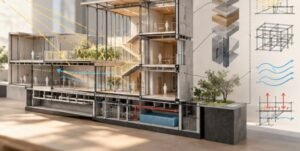
Street layout and building form shape airflow and shade. Corridors aligned with prevailing winds may ventilate some neighborhoods; tall buildings may shade sidewalks but also restrict airflow. There is no universal formula for building height or spacing, so planners need local wind data and street-level testing.
Zoning can reserve parkland, limit excessive site coverage, protect ventilation routes, and require setbacks or trees. Floor area ratio and building coverage standards help manage development, but reducing density is not always best. Compact neighborhoods can support transit and shorter trips when paired with shade and open space.
Cool roofs reflect more sunlight than dark roofs, while permeable surfaces can support water infiltration where conditions allow. Light pavement may lower surface temperatures but increase reflected heat for pedestrians. Evaluate materials for comfort, energy use, glare, and maintenance.
Winter performance, accessibility, and lifecycle costs matter. A surface that performs well in one season or district may create glare, drainage problems, or maintenance burdens elsewhere, so pilots can help refine standards before citywide adoption.
Use Heat Maps to Put Investment Where It Counts
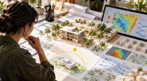
Satellite imagery, land surface temperature data, canopy maps, and local measurements help identify hotspots. Combining them with housing, age, income, and transit data reveals who is exposed. A hot industrial site and a residential block may need different responses, even if a thermal map colors them similarly.
AI-driven urban planning for climate-resilient cities can compare shade gaps, identify candidate streets for planting, and test development scenarios. Outputs still need human review: satellite readings measure surface conditions, not exactly the air people experience, and datasets may miss less visible populations.
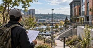
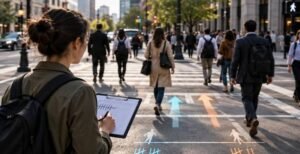
Residents can identify overheated playgrounds, exposed walking routes, and bus stops without shelter. Agencies should publish project-selection criteria so investment reaches high-need areas, not only places with the loudest advocates or highest property values.
Test Plans Before Building Them
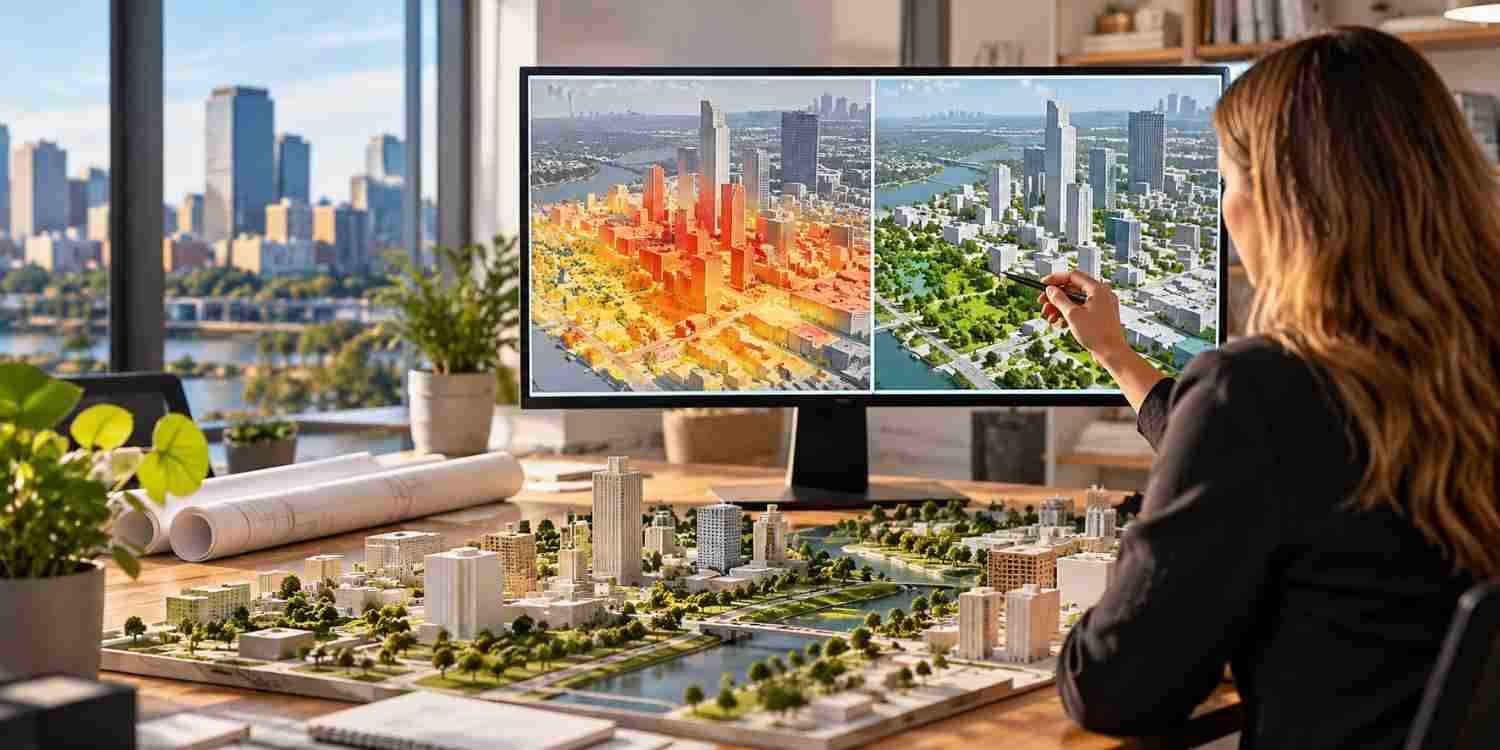
Because roads and buildings are hard to move, digital models can compare options before public money is committed. Urban digital twins for climate adaptation combine building geometry, weather, land cover, and infrastructure data to model scenarios when reliable local data are available.
A city might compare street trees, roof standards, ventilation routes, or a redesigned plaza. The test is whether a model clarifies feasible choices and trade-offs, not whether it looks impressive. Validate models against measured conditions and update them as the city changes.
Measure Results and Keep Them Working
A heat plan needs measurable goals. Track tree survival, shade coverage, surface and air temperatures, access to cooling spaces, and walking-route conditions. Before-and-after monitoring shows whether benefits reached intended residents. Maintenance matters too: trees need care, roofs age, and public spaces must remain usable.
Implementation requires coordination among planners, transportation agencies, parks teams, utilities, public health staff, and residents. Shared goals and funding can prevent a road project or development approval from undoing earlier cooling investments.
FAQs: How Urban Heat Island Mitigation Through Spatial Planning Can Transform Cities
1. What is urban heat island mitigation through spatial planning?
It means using land use, building design, street layouts, vegetation, and infrastructure policies to reduce heat buildup and improve outdoor comfort across urban areas.
2. Which planning strategy cools cities most effectively?
No single strategy works everywhere. Trees, connected green spaces, cool roofs, and better ventilation can complement one another, depending on climate, urban form, and local needs.
3. How can cities identify heat-prone neighborhoods?
They can combine satellite thermal data, tree-canopy maps, local temperature measurements, land use, and community feedback to identify hotspots and vulnerable populations.
4. Can smaller cities afford heat mitigation?
Yes. They can start with low-cost measures such as protecting existing trees, adding shade at transit stops, updating development rules, and targeting projects to the hottest public spaces.
Cooler Cities Begin With Decisions Made Early
A city does not become resilient through one park, one reflective roof, or one ambitious climate document. Progress comes when cooling is considered alongside housing, mobility, public health, stormwater, and development from the beginning. That approach requires trade-offs, steady funding, and honest evaluation, but it can make investments work harder while improving the daily experience of residents.
The best plans make shade, airflow, and green space ordinary parts of city life, not rare comforts people must seek out.