
I have noticed how hotter summers and heavy rain can change a familiar street. Roads become heat traps, and low intersections flood. Building materials, tree cover, transit, drainage, and housing all affect neighborhood resilience.
I have also seen how hard it is to plan for fast-changing risks with scattered records and old maps. AI can connect information and test choices before construction, but its value depends on sound judgment and better everyday outcomes.
Why Cities Need a More Predictive Approach
Climate resilience means preparing urban systems to withstand shocks, recover, and adapt. Heat, rainfall, energy, transportation, housing, and public health interact, so solving one problem can worsen another. Over the coming decades, for example, paving open land rapidly may create space for new homes but increase runoff and remove cooling vegetation. Planning teams need to see these connected effects early, while alternatives are still affordable.
Static maps can struggle to keep pace with changing land use and weather. AI-driven urban planning for climate-resilient cities analyzes data, identifies patterns, and compares interventions. It cannot predict the future with certainty, but adds evidence for planners to validate.
How AI Changes the Planning Process
Predicting heat, floods, and climate risks
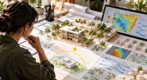
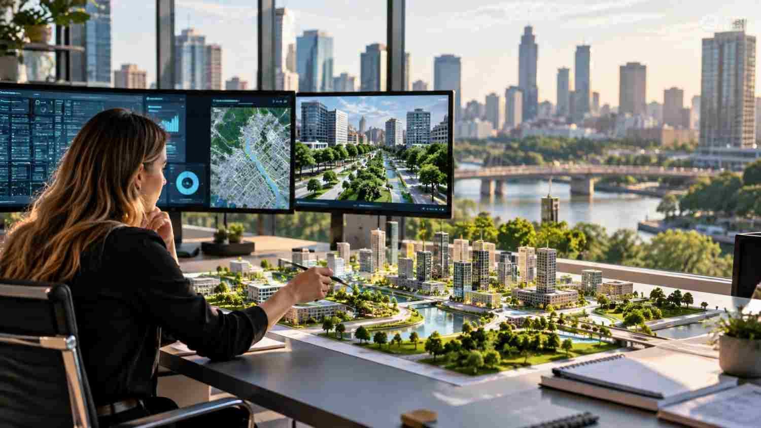
Machine-learning models analyze weather, elevation, drainage, building density, satellite images, and sensors to estimate climate risks. Heat maps can combine temperatures, tree cover, and cooling-center access. Flood models identify exposed roads, homes, and critical facilities.
Forecasts have limits: missing sensors or outdated data can mislead, and models may not transfer between regions. Planners should compare predictions with inspections, past events, and community reports.
Testing decisions with digital twins
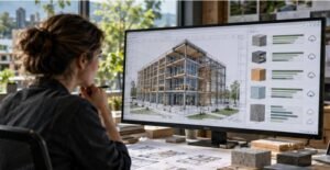
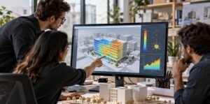
A digital twin is a virtual model updated with building, traffic, weather, and infrastructure data. Linked with AI, it lets planners test how trees affect temperatures, drainage changes reduce flood exposure, or development alters travel demand before spending public money.
A digital twin should answer a specific planning question, not simply look impressive. Weak data and hidden assumptions can create false confidence.
Turning Analysis into Practical Climate Action
Cooler neighborhoods and healthier streets
Spatial analysis can identify blocks with little shade and high temperatures, helping cities prioritize trees, cool roofs, shaded stops, and green spaces. Local conditions matter: trees need water and root space, while reflective materials can create glare.
Equity should shape investment. Lower-resource neighborhoods often have less tree cover and fewer cool spaces. Mapping exposure alongside health indicators and service access helps direct funding toward residents facing greater risks.
Flood management and resilient infrastructure
AI can flag where rainfall, terrain, drainage problems, and past floods overlap. Forecasts help crews prepare pumps, close roads, or issue warnings; longer-term analysis can guide wetlands, permeable pavement, rain gardens, and drainage upgrades.
Models cannot replace maintained infrastructure or emergency procedures. Warnings must reach people and explain what to do. Measure success through reduced disruption and losses, not sensor counts.
Energy and transportation systems
AI helps utilities forecast demand, coordinate solar power and batteries, and detect equipment problems. Transportation teams can adjust signals, improve bus reliability, and identify flood-prone routes, reducing wasted energy and disruption.
Systems need joint planning: evacuation routes fail if outages disable signals, and electric buses need charging that survives extreme weather. Coordination turns separate projects into a resilience strategy. Cities can also use scenario analysis to identify backup routes, prioritize critical facilities, and decide where limited funds can protect the most people. Results should be reviewed regularly as neighborhoods and climate conditions change.
The Risks Cities Must Manage

AI requires reliable data, staff, funding, and accountability. Some cities lack detailed maps; others rely on vendors with opaque models. Sensors can threaten privacy, so cities should limit collection, protect records, and explain how data shape decisions.
Bias can lead models to favor well-served neighborhoods and overlook informal housing or communities missing from official datasets. Planners should audit results, publish assumptions, and invite challenges. Human oversight is essential.
AI also consumes electricity. Weigh its climate benefits against operating costs, especially when simpler tools suffice. Start with a defined problem and evaluate results before expanding.
What Cities Should Prioritize Next?
Start with one measurable challenge, such as reducing school-area heat or improving flood warnings. Planners, engineers, emergency managers, health staff, and residents can define success. A small pilot reveals data gaps and communication problems before a larger investment.
Cities must maintain systems after pilots, document models, train staff, check forecasts, and assign responsibility. Procurement contracts should explain data access, model updates, and independent evaluation. Teams need a clear process for correcting errors and retiring tools that no longer perform well. AI works best in a planning process residents can understand and influence, not as a black box.
FAQs: The Future of AI-Driven Urban Planning for Climate-Resilient Cities
1. How does AI help cities prepare for climate change?
AI analyzes weather records, satellite images, infrastructure data, and neighborhood conditions to identify likely risks. Planners can use those insights to prioritize heat reduction, drainage improvements, emergency preparation, and resilient infrastructure. It can also help compare projects by expected benefit, cost, and who gains protection.
2. Can AI predict urban flooding accurately?
AI can improve flood estimates by combining rainfall forecasts, terrain, drainage information, and historical events. Accuracy depends on local data and model validation, so forecasts should support, not replace, engineering assessments and emergency plans. Clear public alerts and regular drills remain essential.
3. What role do digital twins play in climate-resilient planning?
Digital twins let planners test options, such as adding trees, changing road layouts, or upgrading drainage, before construction. Their value depends on current data, transparent assumptions, and clear goals.
4. What are the biggest risks of AI in urban planning?
Risks include biased data, privacy concerns, high costs, limited technical capacity, and overreliance on automated predictions. Public oversight, independent checks, and meaningful community participation help reduce them.
Resilience Begins with Better Choices
Urban planning’s future depends on connecting data with reliable infrastructure, fair investment, and residents’ lived experience. AI can reveal patterns and compare options, but people must decide which risks matter and whose needs come first. Resilience grows through choices made before a crisis, not promises afterward.
A smarter city is not the one with the most algorithms. It is the one that uses evidence to keep people safer, services working, and neighborhoods livable as the climate changes.