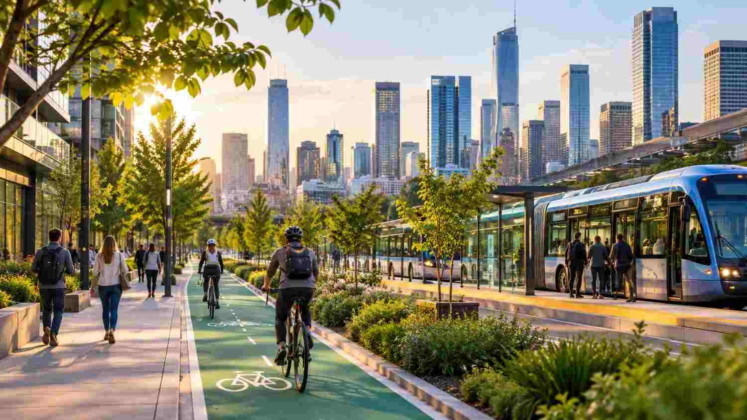
I have noticed how much a city’s layout shapes the way people travel. When destinations sit far apart and buses arrive infrequently, driving can feel less like a preference than the only workable option. Short errands become car trips when sidewalks disappear, or crossings feel unsafe.
I have also seen how a different street can change a neighborhood. A reliable bus, protected bike lane, or shaded path can make nearby destinations accessible without a car. Urban mobility planning for low-carbon cities starts with everyday experience: helping people reach essential places while reducing pollution and wasted time.
Why Cities Need a Different Approach to Urban Mobility
Transportation planning has often prioritized vehicle movement, road capacity, and parking. A wider road can still leave residents stuck in traffic. Car-dependent development also increases fuel use, air pollution, noise, and the land devoted to driving and parking.
Low-carbon mobility aims to reduce unnecessary trips and make lower-emission choices convenient. Public transit, walking, cycling, and shared mobility all have a role. Electric vehicles reduce tailpipe emissions, but do not solve congestion or parking demand.
Make Public Transit the Backbone of Everyday Travel
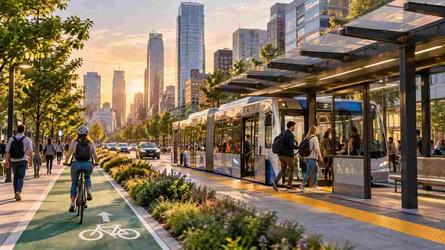
Buses and trains become alternatives when they are frequent, dependable, safe, and affordable. Cities can coordinate routes and make transfers easier. Dedicated bus lanes and signal priority help services avoid traffic delays. Bus rapid transit can offer high capacity and rail-like speed at a lower construction cost in suitable corridors.
Curitiba, Brazil, helped pioneer bus rapid transit through dedicated corridors and stations designed for quick boarding. Each city must adapt service to local travel patterns, budgets, and streets. Electric buses can further reduce local air pollution when charging, maintenance, and power supply are planned together.
The journey to transit matters too. Safe crossings, secure bike parking, accessible stops, integrated fares, and convenient walking routes help turn separate stages into one practical trip.
Design Streets for Walking and Cycling
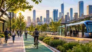
Walking and cycling should be treated as everyday transportation, not optional recreation. Continuous sidewalks, protected bike lanes, well-lit crossings, lower vehicle speeds, and visible intersections make active travel practical. A painted lane that ends at a busy junction is not a connected cycling network.
Streets must work for children, older adults, wheelchair users, and people carrying groceries. Smooth surfaces, curb ramps, enough crossing time, and secure bicycle parking near transit, schools, and shops make trips easier for more residents.
Comfort matters as much as safety. Trees, awnings, benches, drinking fountains, and places to rest can make walking more appealing during hot weather. In hot places, shade should be planned along the route.
Connect Mobility With Smarter Urban Development
Transportation and land use shape each other. When homes, jobs, schools, health care, and shops are spread far apart, journeys become longer and harder to serve efficiently. Transit-oriented development places housing and mixed-use destinations near reliable transit, giving residents more choices without requiring every neighborhood to look alike.
The 15-minute city applies a related idea: make daily needs reachable within a short walk or bike ride where practical. It is not a promise that everyone can reach everything in fifteen minutes. It encourages nearby services, connected streets, and a fairer distribution of amenities.
Compact development needs affordable housing and community input. Otherwise, better transit access can raise rents and displace existing residents. Zoning, affordable housing policies, and support for local businesses can help ensure improved mobility benefits current communities as well as newcomers.
Use Technology and Nature to Build Resilient Networks
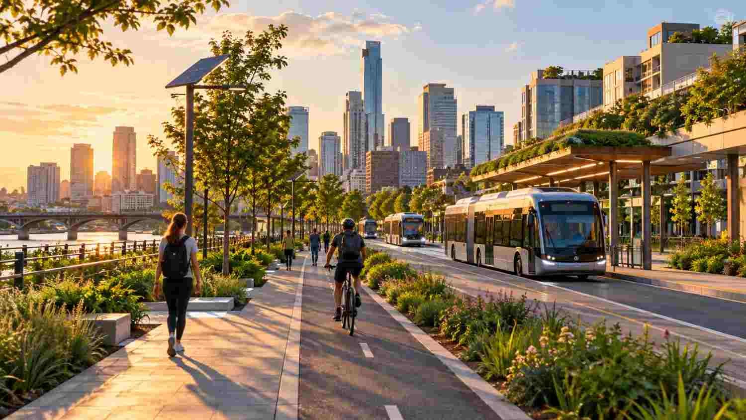
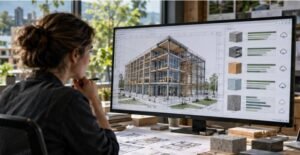
Mobility data can reveal late buses, dangerous crossings, and gaps in cycling routes. Digital models can test proposed street changes before construction, while public workshops help residents explain likely effects on daily life. Participatory urban planning using digital twins can combine scenario testing with community knowledge, provided data is reliable and decisions remain transparent.
Routes must also withstand heat, heavy rain, and flooding. Shade trees, planted buffers, permeable surfaces, and effective drainage can improve comfort and reduce runoff around walking and cycling corridors. These measures need maintenance; planting cannot replace sound drainage engineering.
Measure Progress Beyond New Infrastructure
Cities should look beyond miles of bike lanes built or buses purchased. Useful measures include transit ridership, walking and cycling rates, vehicle miles traveled, travel times, crash injuries, access to jobs, and greenhouse gas emissions. Neighborhood data can reveal whether improvements reach underserved residents.
Measurement should lead to adjustments. If a bus line attracts few riders, planners can examine frequency, connections, fares, and service hours. If a bike lane remains underused, a dangerous junction or lack of secure parking may be the real barrier. Transparent reporting helps cities learn instead of simply announcing completion.
FAQs: Urban Mobility Planning for Low Carbon Cities: Rethinking Public Transit, Cycling, and Walking
1. What is low-carbon urban mobility planning?
It is the process of shaping transportation and land use to reduce emissions while improving access to jobs, services, and public spaces. It prioritizes transit, safe walking and cycling, and shorter everyday journeys.
2. How does public transit reduce transportation emissions?
Buses and trains can move many people with less energy per passenger than individual cars, especially when services are well used. Frequent routes, dedicated lanes, and convenient transfers help attract riders.
3. What is the role of the 15-minute city?
It encourages planners to place everyday destinations within a short walk or bike ride where practical. This can shorten trips and support local businesses, provided services are distributed fairly.
4. How can cities measure progress toward low-carbon mobility?
Cities can track emissions, transit ridership, vehicle miles traveled, walking and cycling rates, road safety, and access to essential destinations. Reviewing results by neighborhood shows who benefits and where gaps remain.
Build Cities Around Better Everyday Journeys
The strongest mobility plans start with trips people actually make: reaching work, taking children to school, buying groceries, or visiting a doctor. That requires coordinating transit with housing, street design, safety, and local services. Different neighborhoods need different combinations of frequent buses, cycling routes, sidewalks, and shared options.
A safer crossing can help someone reach a bus; a dependable bus may make a second car unnecessary; nearby shops can shorten a weekly journey. When these choices reinforce one another, lower emissions become part of a city that is easier to navigate and more welcoming. Reviews should also assess nature-based solutions for flood-resilient cities that protect routes and public spaces.
The goal is simple: make the sustainable trip the practical trip.