I have noticed how quickly a street changes during a downpour. A road that handles ordinary rain can become a shallow channel when water rushes off roofs, parking lots, and sidewalks faster than drains can carry it away. The problem often starts beyond the flooded intersection, with lost wetlands, compacted soil, and development that leaves rain nowhere to go.
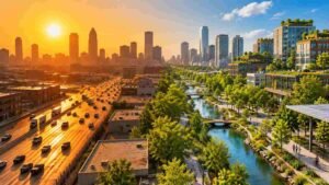
I have also come to see urban greenery differently. A tree-lined street, restored creek, or rain garden can make a neighborhood pleasant while giving water room to soak in or pause downstream. They cannot prevent every flood, but they can support a city’s response to climate change.
Why Cities Need a Different Approach to Flood Management
As cities grow, concrete, asphalt, and rooftops replace natural ground. These surfaces limit infiltration and send runoff into drains quickly. During intense rainfall, pipes can reach capacity, rivers rise, and low streets collect water. Older systems may also face combined sewer overflows.
Climate change adds uncertainty. Some places face heavier downpours, while coastal communities face rising seas. Flood risk depends on topography, soil, drainage, and development across a watershed. No intervention fits every location.
Nature-based solutions for flood-resilient cities work with natural processes to manage water and strengthen urban ecosystems. The approach can include protected wetlands, restored floodplains, trees, green roofs, rain gardens, and permeable surfaces. Planners create places where water can be stored, filtered, and released more slowly.
Nature-Based Solutions That Help Manage Floodwater
Green infrastructure on streets and buildings
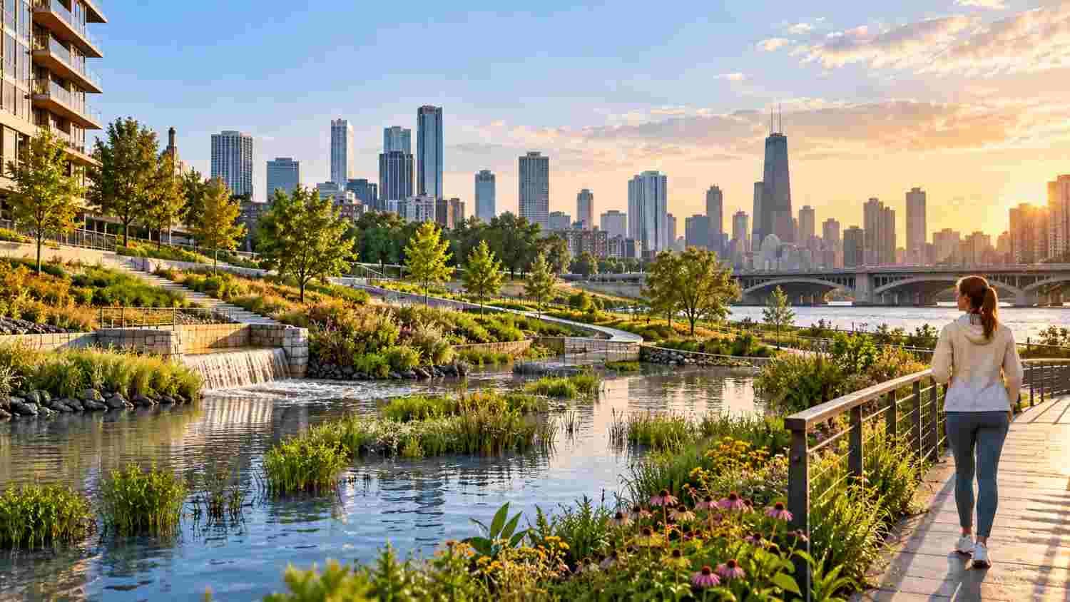
Rain gardens collect runoff from nearby pavement and let it filter through planted soil. Bioswales use shallow, vegetated channels to guide water while slowing its movement. Permeable pavement allows some rainfall to pass through its surface into a stone layer below, where water can infiltrate or drain gradually. Green roofs hold a portion of rainfall and delay the runoff that reaches street-level systems.
These features must suit the site. Poorly draining soil may need underdrains. A small garden cannot absorb unlimited rainfall, and saturated ground has little spare capacity. Designs should account for storms, groundwater, utilities, accessibility, and safe overflow routes. Removing sediment helps preserve performance.
Wetlands, rivers, and floodplains
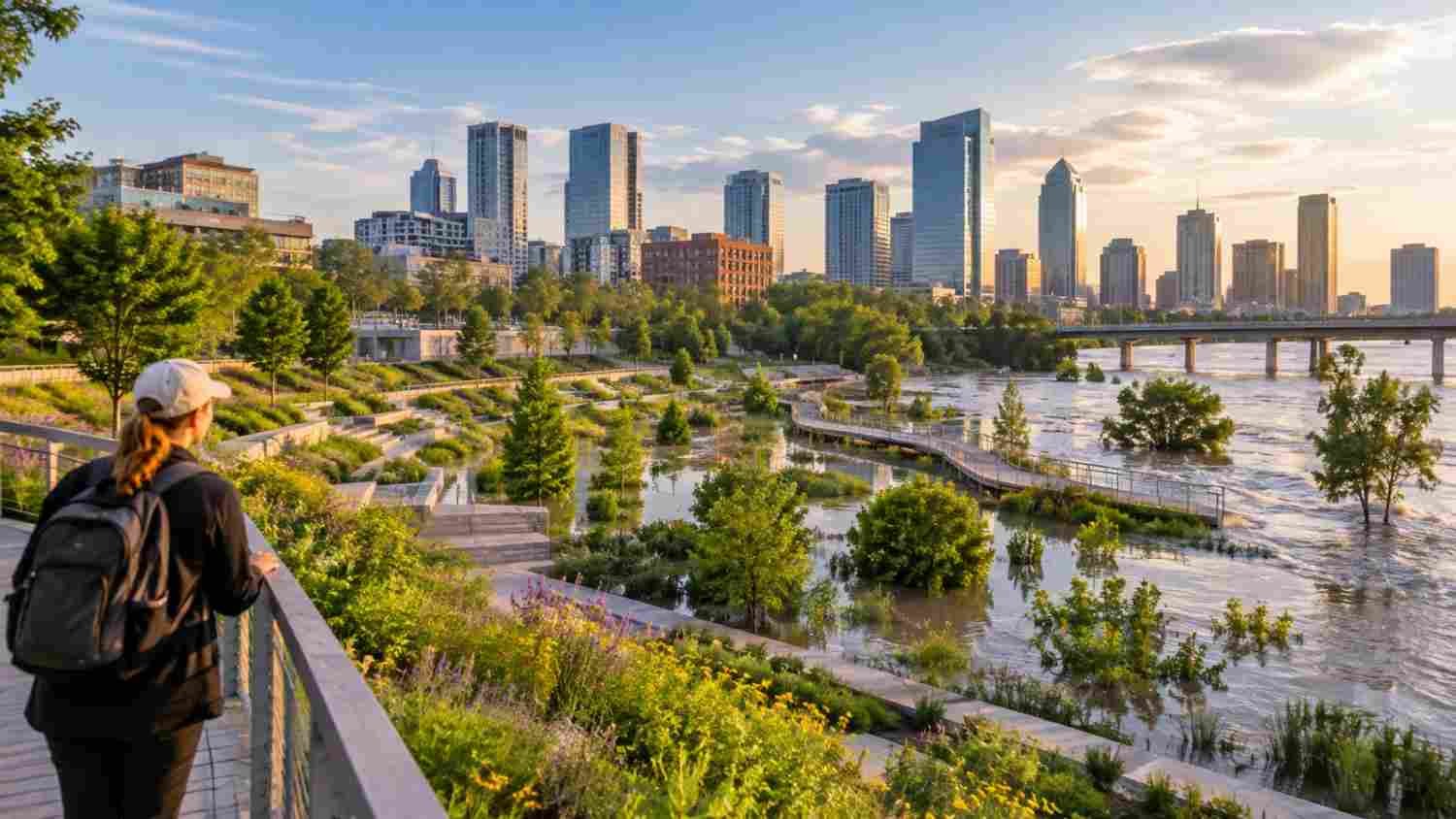
Wetlands store water and support plants adapted to wet conditions. Reconnecting a river to a suitable floodplain gives high flows more space and can reduce pressure downstream. Restoring meanders and planting riparian buffers can slow erosion, improve habitat, and filter pollutants.
Coastal cities can protect salt marshes, dunes, and living shorelines where feasible. These systems absorb wave energy and reduce erosion, but cannot eliminate storm risk. Ecology, land ownership, and sea-level rise shape what is feasible.
Using GIS to Choose the Right Places
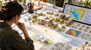
Good projects begin by identifying where water travels and who is exposed. Elevation models, rainfall records, land-cover data, soil maps, drainage networks, flood histories, and locations of roads, hospitals, and homes help identify trouble spots. GIS mapping for urban vulnerability assessment helps planners compare physical flood exposure with social vulnerability, including areas where residents have fewer resources to recover.
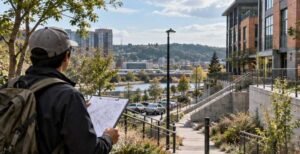
Maps support decisions but cannot predict everything. Data may be incomplete, drainage assets poorly documented, and future rainfall different from historical patterns. Field inspections and local knowledge should test models. Residents often know which underpasses flood first, where water enters basements, and which routes become unusable.
Spatial analysis can prioritize projects. A vacant parcel might become a retention park, a schoolyard could include rain gardens, and a street reconstruction could add tree trenches or permeable parking lanes.
Making Green and Gray Infrastructure Work Together
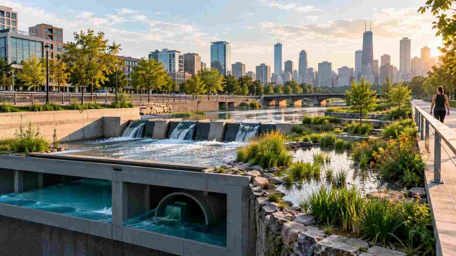
Nature-based approaches should complement engineered systems when failure has serious consequences. A city may need pumps, culverts, storage tunnels, levees, or barriers alongside wetlands and green streets. Parks can provide recreation in dry weather and temporarily store stormwater during heavy rain. Overflow paths protect buildings and critical services.
The right combination depends on the threat. A rain garden can reduce runoff from a block but cannot protect a coastal district from storm surge. A restored floodplain needs space, careful land-use decisions, and agreements with property owners. Projects must not shift floodwater toward another neighborhood or create false security.
Benefits, Barriers, and Long-Term Care
Flood reduction is one benefit. Trees and green roofs reduce local heat; wetlands support wildlife and improve water quality. Green spaces offer places to walk and gather. These benefits matter when projects meet community needs and remain accessible.
Implementation takes coordination. Dense neighborhoods may lack land, buried utilities constrain planting, and construction costs arrive before benefits are clear. Funding is often split across parks, transportation, drainage, and public health departments. Cities need shared responsibilities, realistic budgets, and maintenance plans. Linking projects with climate-resilient urban regeneration strategies can also align flood protection with public space, safer walking routes, and neighborhood investment.
Measure performance after installation. Indicators include runoff volume, peak flow, water quality, flooded properties, tree survival, and maintenance costs. Monitoring several storms shows whether a system works and where changes are needed. Designs should account for heavier future rainfall and storms beyond the original design.
FAQs: Designing Nature-Based Solutions for Flood-Resilient Cities in a Changing Climate
1. What are nature-based solutions for urban flooding?
They are approaches that use natural or nature-inspired systems, such as wetlands, rain gardens, trees, and permeable surfaces, to store, absorb, filter, or slow stormwater.
2. Can nature-based solutions prevent all city floods?
No. They can reduce runoff and lower some flood impacts, but extreme rainfall, river floods, and storm surge may exceed their capacity. They work best within a wider flood-risk plan.
3. How can cities decide where to build them?
Planners can combine flood maps, terrain, soil, land cover, drainage information, and community knowledge. Site visits and updated models help confirm which interventions are suitable.
4. Are these projects expensive to maintain?
Costs vary by design and location. Regular inspections, clearing inlets, removing sediment, and caring for plants are essential. Planning maintenance funding early helps protect performance over time.
Why Lasting Resilience Gives Water Room
A flood-resilient city cannot be created by adding a few planters and declaring the problem solved. It requires watershed-wide decisions: protecting places that already hold water, restoring ecosystems, changing how streets handle rain, and investing in neighborhoods facing the greatest risks. Strong plans combine engineering, natural systems, local knowledge, fair priorities, and honest performance measures.
Water will always need somewhere to go. Cities become better prepared when they make that space before the next storm.