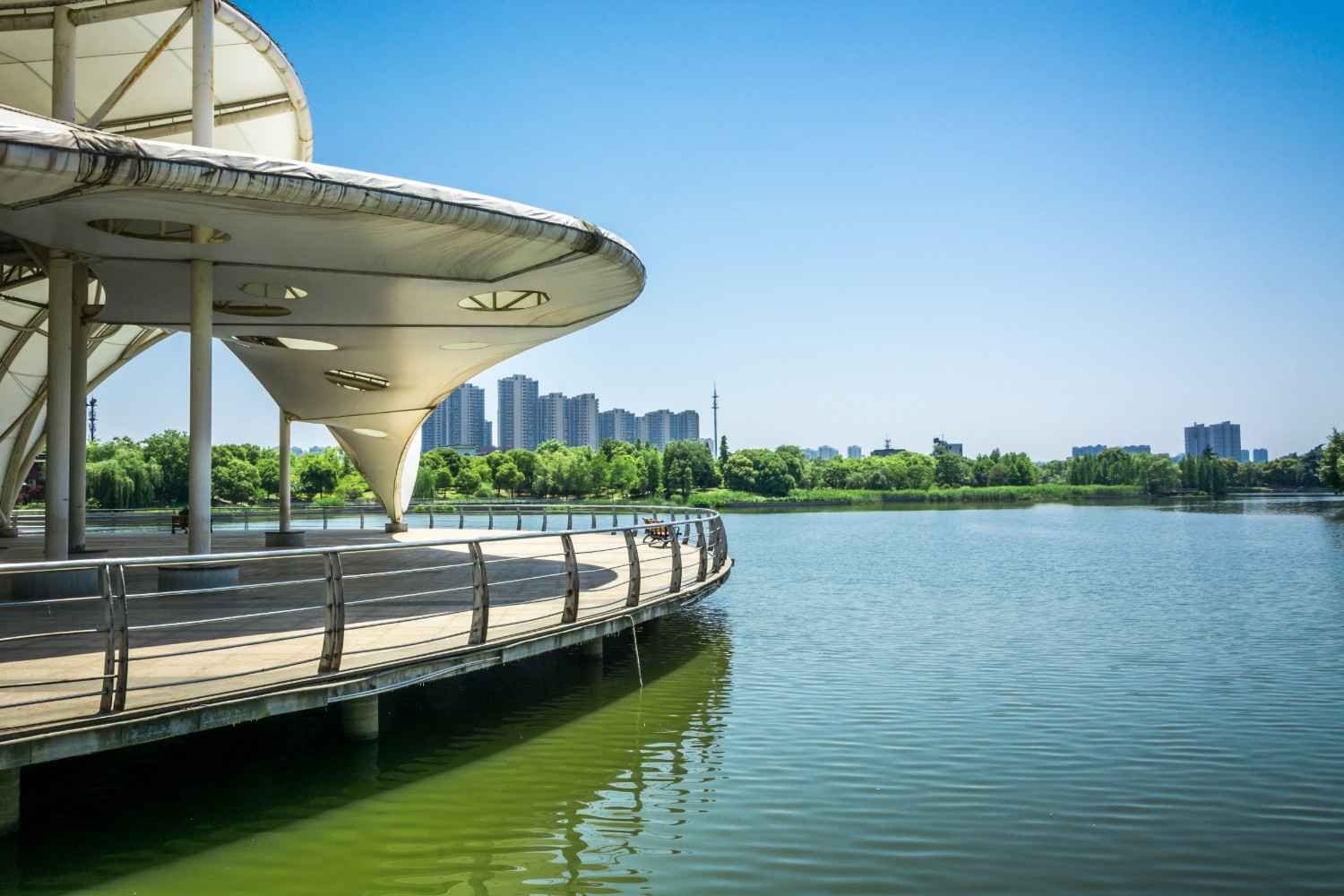
For decades, many American waterfronts were treated as industrial backyards rather than civic destinations. Warehouses, parking lots, shipping infrastructure, highways, and hardened riverbanks often separated communities from the water.
Today, that relationship is changing. The strongest waterfront public space case studies show that successful redevelopment is no longer about adding a promenade and a few benches. Cities are designing waterfronts as infrastructure that can manage flooding, restore ecology, support economic development, and create active public spaces at the same time.
From Chicago to Cincinnati and New York to Portland, these projects demonstrate how public access, climate resilience, mixed-use development, and creative financing can work as one urban system.
What Makes a Modern U.S. Waterfront Successful?
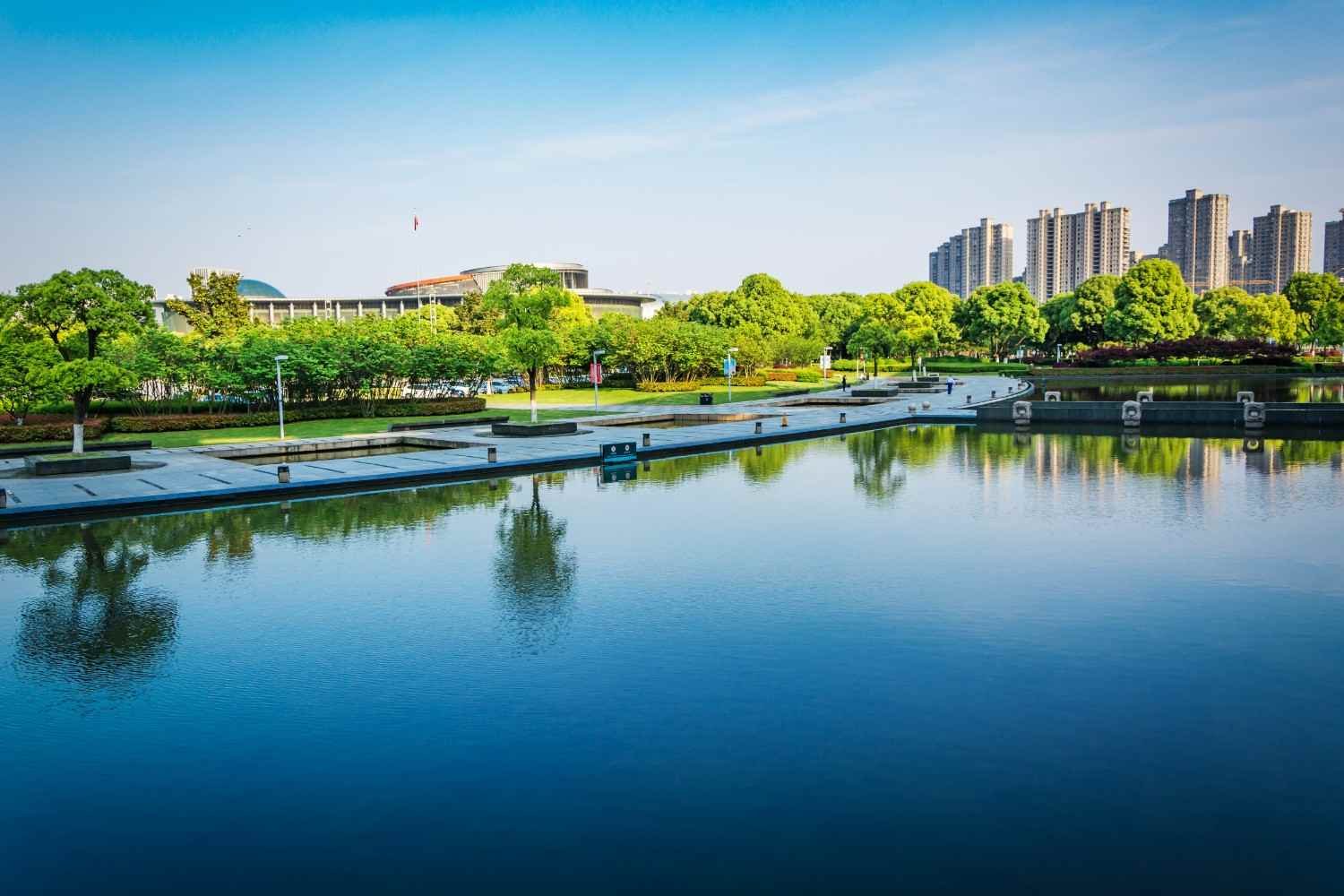
Three strategies appear repeatedly in major American waterfront projects.
The first is adaptive flood architecture. Instead of trying to keep water out at all costs, cities increasingly create parks, terraces, wetlands, and lower-level public areas that can temporarily accommodate rising water. This approach allows some parts of a waterfront to flood safely while protecting more vulnerable inland neighborhoods.
The second is innovative financing. Large waterfront projects can cost hundreds of millions of dollars, so cities often combine public infrastructure funding, federal loans, private development, philanthropy, concession revenue, and public-private partnerships.
The third is landscape-based stormwater management. Bioswales, permeable surfaces, native planting, wetlands, and restored shorelines can slow and absorb runoff before it enters rivers and coastal waters. These strategies also make public spaces greener and more comfortable.
Chicago Riverwalk: Designing Public Space to Live With Water
Chicago’s Riverwalk is one of the clearest examples of how infrastructure can double as public space. Once dominated by transportation infrastructure and an underused river edge, the downtown waterfront has been transformed into a continuous pedestrian environment stretching along the Chicago River.
Its design includes restaurants, boat access, seating areas, recreation, gathering spaces, and different landscape zones. More importantly, parts of the lower Riverwalk are designed to tolerate periodic flooding rather than depend entirely on rigid flood barriers.
This creates a layered waterfront in which the spaces closest to the river can absorb changing water conditions while higher levels remain connected to the city.
The financial model is equally important. Chicago used a $100 million Transportation Infrastructure Finance and Innovation Act loan to help complete the Riverwalk expansion. Revenue generated by concessions and commercial activities contributes to repayment, connecting public investment with the economic activity created by the waterfront itself.
The lesson is simple: resilient design does not need to make a waterfront feel defensive. Flood infrastructure can become part of everyday civic life.
Hunter’s Point South and Brooklyn’s Changing Industrial Waterfront

New York City’s waterfront redevelopment demonstrates a different challenge: transforming valuable former industrial land without losing public access, resilience, or working-waterfront functions.
Hunter’s Point South in Queens combines housing, public parkland, pedestrian routes, restored habitat, and flood-conscious landscape design along the East River. The park uses wetlands, planted edges, topography, and resilient open spaces to help accommodate stormwater and coastal flooding.
Rather than separating flood protection from recreation, the landscape performs both roles.
Nearby redevelopment discussions surrounding the Brooklyn Marine Terminal illustrate another emerging planning model. The waterfront must balance maritime activity, freight movement, housing, public open space, and neighborhood connections. Current plans have emphasized maintaining maritime functions while also considering substantial mixed-use redevelopment and affordable housing.
These projects show why waterfront public space case studies increasingly need to examine land use and economics alongside landscape design. A successful shoreline is not simply a park. It must connect transportation, housing, employment, ecology, and public access without allowing private development to completely wall residents off from the water.
Smale Riverfront Park Reconnected Cincinnati With the Ohio River
Cincinnati’s Smale Riverfront Park transformed a major stretch of the Ohio Riverfront into a civic destination connected to downtown.
The approximately 32-acre park includes lawns, gardens, fountains, play areas, walking paths, terraces, swings, and spaces designed for large public gatherings. Its design helps transition people from the city’s street grid down toward the changing river edge.
Because Ohio River levels fluctuate, the landscape also has to function as more than a conventional urban park. Terraces, planted areas, stabilized edges, and adaptable lower zones help the riverfront cope with seasonal water conditions.
Its funding strategy demonstrates how public space can support wider redevelopment. The project combined substantial public infrastructure investment with private and philanthropic contributions. At the same time, the park became part of a larger transformation of Cincinnati’s riverfront, encouraging new residential, entertainment, and commercial development nearby.
The project illustrates an important planning principle: high-quality public space can be an economic catalyst rather than simply a cost attached to redevelopment.
Portland South Waterfront Uses Ecology as Urban Infrastructure
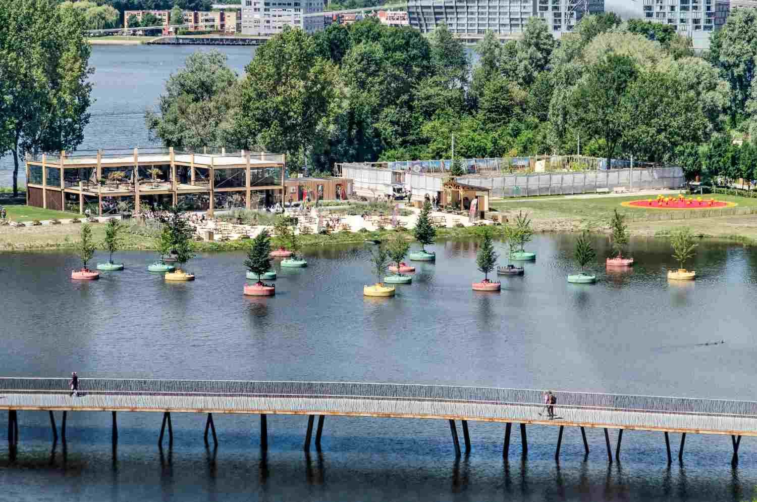
Portland’s South Waterfront offers another model for transforming former industrial riverfront land.
The district combines dense residential and commercial development with public greenways, pedestrian connections, river access, restored vegetation, and stormwater-management systems along the Willamette River. This kind of coordinated planning also connects well with lessons from transit hub redevelopment case studies, where land use, mobility, public space, and private development work best when they are planned together.
Instead of relying exclusively on hardened concrete edges, sections of the waterfront emphasize naturalized landscapes and native planting. Bioswales and related green infrastructure help manage runoff before it reaches the river.
This approach reflects a broader “sponge city” principle in which landscapes absorb and filter water instead of rapidly sending it into underground drainage systems.
Portland also demonstrates how zoning and development requirements can protect public access. Private development may occupy valuable waterfront property, but public paths, green space, and river connections help prevent the shoreline from becoming an exclusive private edge.
Frequently Asked Questions (FAQs)
1. What makes a successful waterfront public space?
A successful waterfront public space combines easy public access, comfortable pedestrian routes, recreation, seating, greenery, active programming, and strong connections to nearby neighborhoods. The best projects also incorporate flood resilience, ecological restoration, and long-term maintenance strategies.
2. Why are waterfront redevelopment projects important for cities?
Waterfront redevelopment can reconnect communities with previously inaccessible shorelines, create new parks and public gathering spaces, improve environmental performance, and support nearby economic development. In many cities, these projects also help transform former industrial land into mixed-use districts.
3. How do waterfront parks help with flooding?
Modern waterfront parks often use floodable terraces, wetlands, bioswales, permeable surfaces, raised landscapes, and restored shorelines to manage stormwater and rising water levels. These features allow some parts of the landscape to absorb or temporarily hold water while reducing pressure on surrounding infrastructure.
4. What can planners learn from waterfront public space case studies?
Waterfront public space case studies show that the strongest projects combine public access, resilience, ecology, financing, transportation, and placemaking rather than treating them as separate goals. They also demonstrate how successful waterfronts balance private development with permanent public access to the water.
What These Projects Teach U.S. Cities
Across these projects, the most effective waterfronts share a common spatial logic. Dense city development sits behind an accessible public realm, while promenades, parks, floodable landscapes, and ecological edges create a transition between buildings and water.
This arrangement protects public access while allowing valuable development to help support infrastructure investment.
The best projects also avoid treating resilience, recreation, and economics as separate goals. A wetland can create habitat while absorbing floodwater. A promenade can improve pedestrian access while supporting restaurants and tourism. A park can provide civic space while increasing the attractiveness of surrounding development.
For planners and designers studying waterfront public space case studies, this integrated approach may be the most transferable lesson. The strongest American waterfronts are not successful because of one dramatic feature. They succeed because engineering, landscape architecture, transportation, public programming, ecology, finance, and urban development work together.
As climate risks increase and cities continue reclaiming former industrial land, waterfront design will increasingly be judged by more than appearance. The real measure of success will be whether these places remain publicly accessible, environmentally functional, economically sustainable, and resilient enough to adapt when the water inevitably changes.