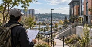
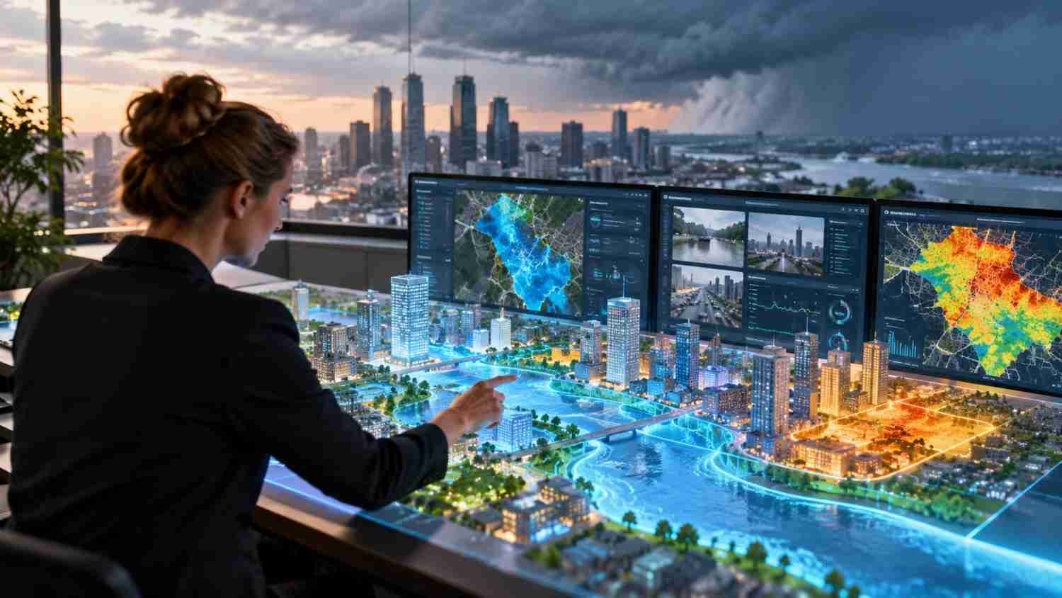
I started paying closer attention to how extreme weather changes a city after seeing how differently nearby streets can respond to the same storm. One intersection floods, another stays passable, and a shaded block feels cooler than exposed pavement. Those differences reflect choices about buildings, drainage, trees, and street design.
I also realized that city leaders often make expensive decisions with incomplete information. Drainage upgrades, tree planting, and shoreline protection can take years. Urban digital twins for climate adaptation let planners test options before construction, showing where risks overlap and which interventions may help most.
What Urban Digital Twins Actually Do
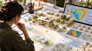
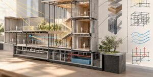
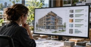
An urban digital twin is a digital representation of a real city or district, connected to spatial data, physical measurements, and analytical models. Unlike a static 3D model, it can be updated with weather stations, satellite imagery, traffic systems, and water sensors. Geographic information systems (GIS) provide location context, while AI and simulations help reveal patterns and compare scenarios.
It is not a crystal ball. It is a decision-support system for asking practical questions: What happens if rainfall intensifies? Which streets become dangerous during a heat wave? Would a new park cool nearby homes? Answers depend on data quality and model assumptions.
How Digital Twins Help Cities Prepare for Extreme Weather
Managing heat before it becomes a health emergency
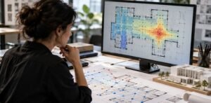
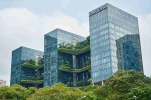
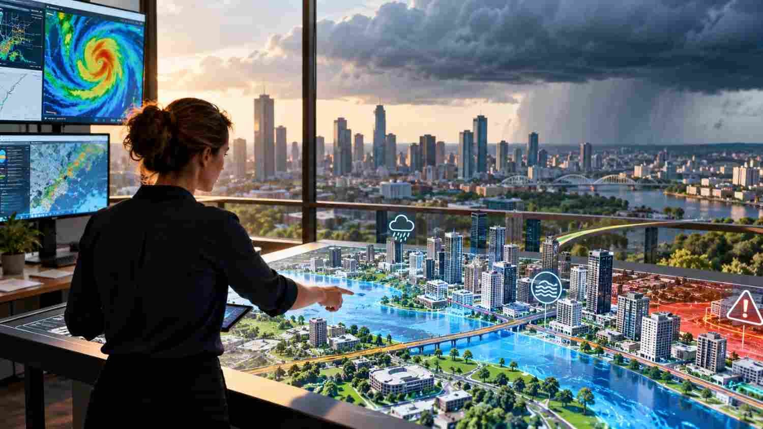
Dense neighborhoods can trap heat in asphalt, concrete, and buildings, creating urban heat islands. A digital twin combines surface temperatures, tree cover, building heights, shade, and wind patterns to identify blocks exposed to dangerous heat. Planners can compare street trees, green roofs, reflective pavement, and cooler building materials.
Singapore’s Cooling Singapore 2.0 initiative is developing a Digital Urban Climate Twin to study how urban form and heat interact. The model can help planners assess cooling measures and identify wind corridors to protect. A U.S. city could use similar analysis to prioritize shade near bus stops, schools, and neighborhoods with little tree cover.
Reducing flood damage
Flooding depends on rainfall, ground elevation, paved surfaces, drainage capacity, rivers, and building locations. A twin can combine terrain models, rainfall forecasts, and sensor readings to show how runoff may move and where drainage networks could fail.
Planners can test rain gardens, permeable pavement, retention basins, pump upgrades, or revised development rules before spending public money. During a storm, connected sensors can update water levels and flow rates. These readings may support emergency decisions, but flood defenses still need reliable controls, maintenance, and human oversight.
Preparing coastlines and critical infrastructure
For coastal communities, digital models can compare sea-level projections, storm surge, tides, and exposed infrastructure. Officials can examine seawalls, restored wetlands, raised roads, and revised building standards. Inland cities can model heat-related power demand, transport disruption, and cascading failures across connected services.
Real-World Projects Showing What Is Possible
Singapore offers an example of urban climate modeling focused on heat. Its work examines how vegetation, buildings, and wind flow shape local temperatures, helping planners compare design choices as the climate warms.
Sweden’s UrbExt DT project is developing high-resolution climate data and machine-learning tools for scenario testing, with input from municipalities in the Gothenburg Region and the City of Cape Town. Running through 2029, it is ongoing research, not a fully deployed citywide warning system. Its planned 100-meter climate data aims to capture local differences that broad regional forecasts can miss.
Turning Simulations Into Better Planning Decisions
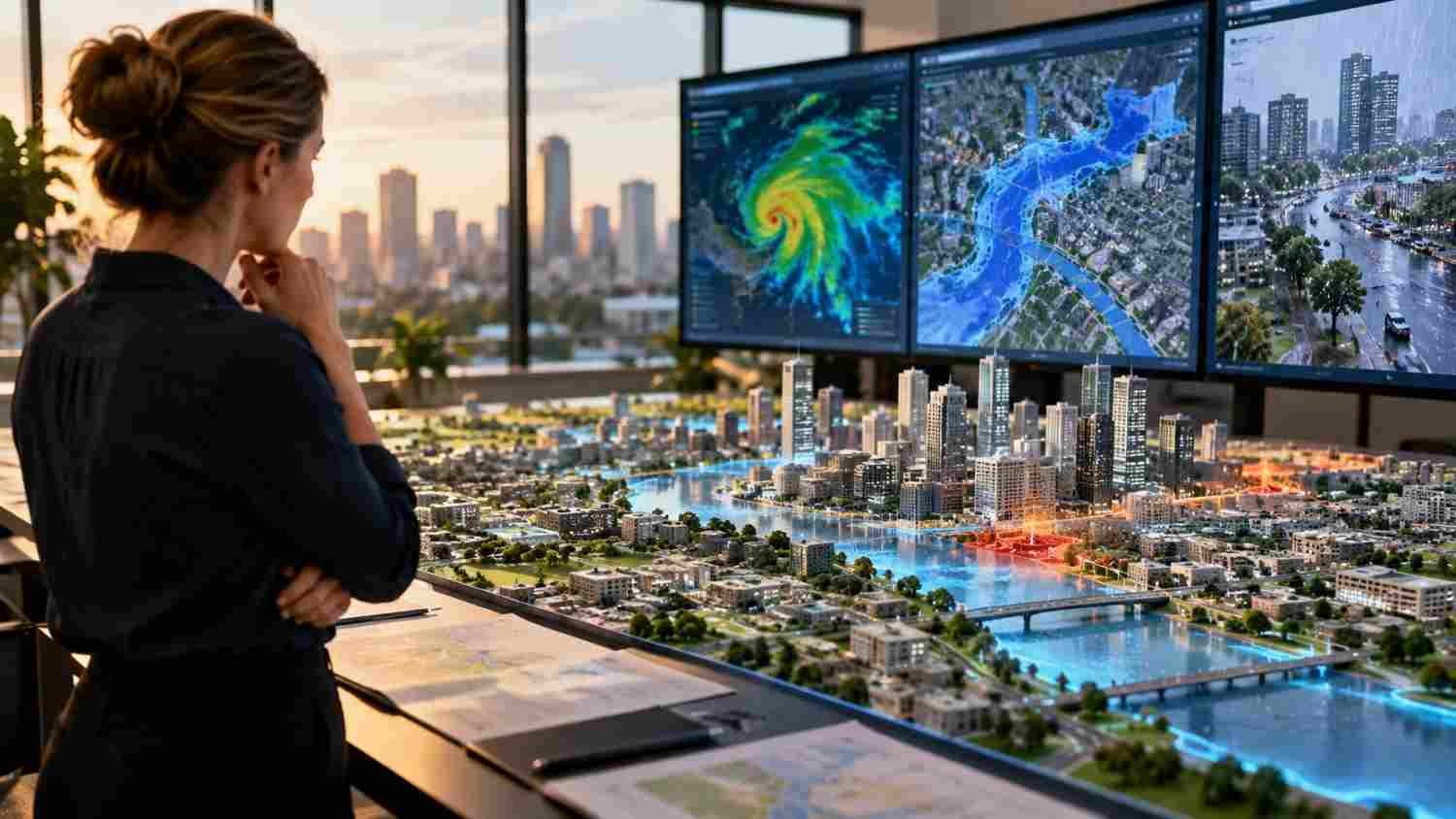
Modeling is most useful when connected to budgets, zoning, capital projects, and public engagement. A city could compare flood-control plans, estimate which neighborhoods gain protection, and assess whether predicted benefits justify costs. This can support AI-driven urban planning for climate-resilient cities by linking data analysis with land use, infrastructure, and community needs.
Demographic information can make choices fairer. Overlaying heat exposure with age, income, health vulnerability, and access to cooling can reveal where risks may hit hardest. Such data requires privacy safeguards and clear access rules. Residents should be able to question assumptions and describe local conditions that sensors may miss.
The Challenges Cities Need to Address
A digital twin requires funding, skilled staff, dependable data, and cooperation across departments. Older infrastructure may lack sensors, and agency systems may not communicate. If data stops updating or inputs are biased, even an impressive visualization can mislead.
Models also carry uncertainty. A scenario is not a guaranteed forecast, especially as emissions, development, and rainfall patterns change. Planners should compare scenarios, validate predictions against observations, publish assumptions, and explain uncertainty clearly. A twin should support professional judgment, not replace it.
Equity matters, too. A model could protect valuable property while overlooking renters, small businesses, or residents with less political influence. Public participation, transparent priorities, and measurable outcomes help ensure resilience investments serve people as well as infrastructure.
FAQs: Urban Digital Twins for Climate Adaptation: How Cities Can Prepare for Extreme Weather
1. What is an urban digital twin?
It is a digital representation of a city or district connected to spatial data, physical measurements, and analytical models. Unlike a static map, it can help planners monitor changing conditions, test possible interventions, and compare future scenarios.
2. How can digital twins help prevent flooding?
They combine terrain, rainfall, drainage, and sensor data to identify vulnerable locations and compare flood-control options. They can improve planning and emergency decisions, but cannot eliminate flood risk or replace maintained infrastructure and local expertise.
3. Can digital twins reduce urban heat?
Yes. They can model how trees, parks, reflective surfaces, building layouts, and wind corridors affect local temperatures. Planners can use those comparisons to target cooling investments where exposure and community vulnerability are greatest.
4. Are urban digital twins expensive to maintain?
Costs depend on the area covered, sensor network, data quality, and model complexity. Cities can begin with one use case, use existing datasets where possible, and expand as staff capacity, funding, and evidence develop.
Preparing Cities Before the Next Climate Emergency
A digital twin’s value is measured by what changes beyond the screen. Better simulations can help teams spot overlooked risks, compare options before committing funds, and explain why one neighborhood needs shade while another needs drainage upgrades. Useful decisions still depend on trustworthy data, experienced staff, public input, and a willingness to revise plans when real conditions differ from projections.
Cities cannot control every storm or heat wave. They can make fewer decisions in the dark.