
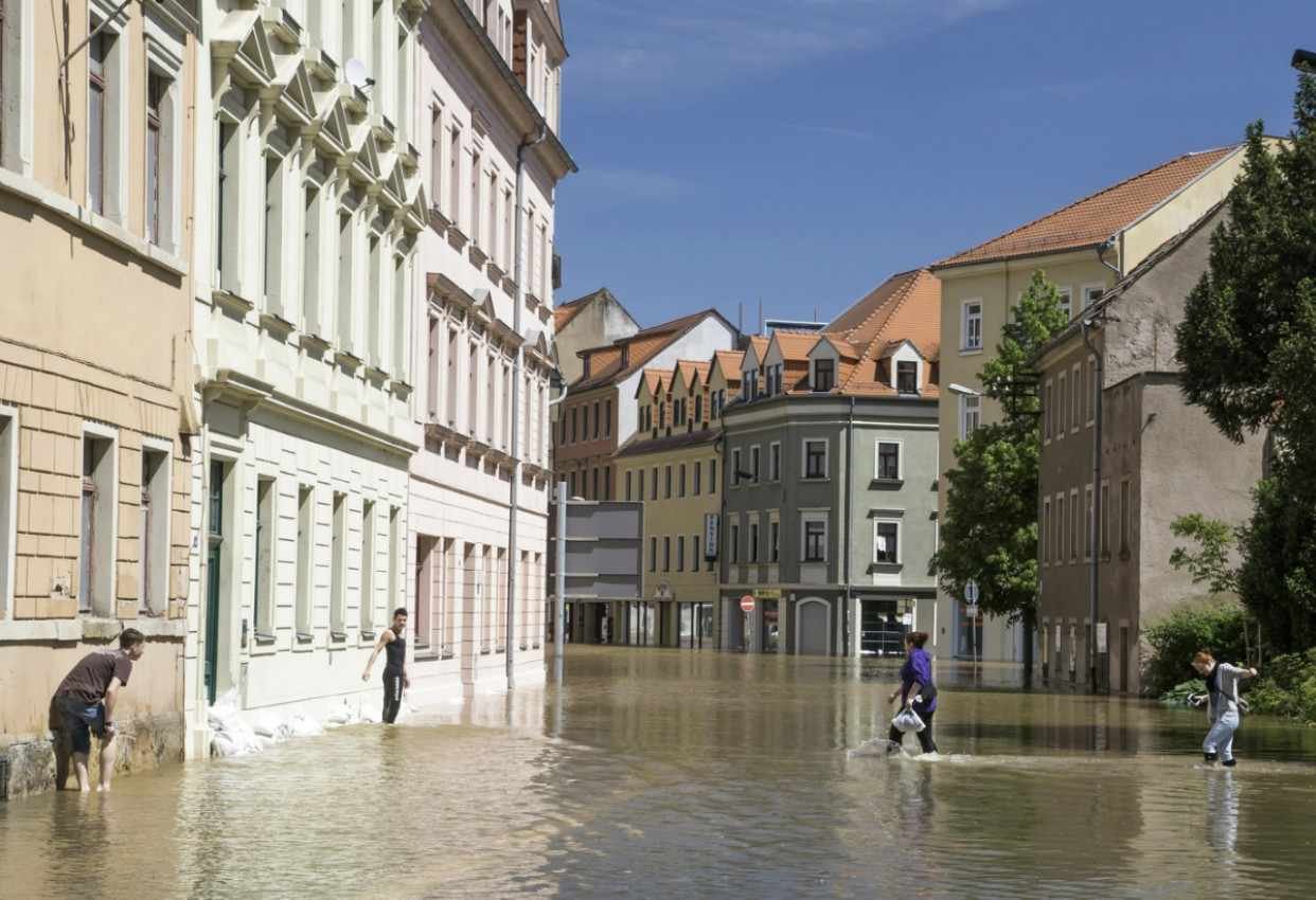
Flooding in American cities is no longer limited to riverfront neighborhoods or coastal communities. Intense rainfall can overwhelm drainage systems, flood roads, disrupt transit, damage businesses, and trap residents far from a mapped floodplain.
As pavement expands and older infrastructure struggles to handle changing rainfall patterns, I believe cities must stop treating stormwater as something that should simply be pushed away through pipes.
The most effective flood-resilient urban planning strategies replace this traditional “command and control” model with a coordinated system that absorbs water locally, guides development toward safer land, protects vulnerable buildings, and helps communities respond before conditions become life-threatening.
What Makes an Urban Flood Plan Truly Resilient?
Flood resilience does not mean preventing every street or park from holding water. It means controlling where water goes, how long it remains, which assets stay operational, and how quickly neighborhoods recover.
A strong plan must address pluvial flooding caused by heavy rainfall, fluvial flooding from rivers and streams, coastal surge, sewer backups, and compound events in which several hazards occur simultaneously. Cities that focus on only one source may reduce one risk while leaving another unaddressed.
The best approach combines nature-based solutions, spatial planning, modern gray infrastructure, flood-resistant buildings, real-time monitoring, and equitable emergency planning.
How Can Nature-Based Solutions Reduce Urban Flooding?
Nature-based solutions use vegetation, soils, wetlands, and natural water systems to slow, store, filter, and absorb stormwater. The EPA (The Environmental Protection Agency) identifies rain gardens, green roofs, permeable pavement, bioswales, wetlands, and urban tree canopies as practical green infrastructure measures that can capture rainfall where it lands.
How Does the Sponge City Approach Manage Stormwater?
The sponge city concept treats the urban landscape as a connected water-absorption network. Instead of directing every drop into underground pipes, cities distribute permeable pavement, bioretention areas, green roofs, rain gardens, trees, and storage features throughout neighborhoods.
These decentralized systems reduce runoff at its source and ease pressure on storm sewers. However, performance depends on site conditions, storm intensity, soil capacity, design quality, and maintenance. Cities should therefore avoid applying a single runoff-reduction percentage to every project.
Can Floodable Parks Protect Developed Neighborhoods?

Floodable public spaces serve residents during normal weather and temporarily store stormwater during intense rainfall. A park may include lowered lawns, wetlands, detention areas, resilient pathways, and elevated gathering spaces.
Qunli Stormwater Park in Harbin, China, demonstrates how a degraded wetland can become both a public amenity and a stormwater-management landscape. Its design preserves the central wetland while using constructed edges, pathways, and gathering areas to make room for water.
US cities can apply the same principle to neighborhood parks, school grounds, athletic fields, waterfront spaces, and public plazas.
Why Should Cities Restore Wetlands and Coastal Buffers?
Wetlands, restored stream corridors, floodplains, dunes, and coastal vegetation can slow floodwater and create space for temporary storage. Along rivers, cities can reconnect waterways to natural floodplains. In coastal regions, marshes and other living shoreline systems can complement seawalls, drainage improvements, and surge barriers.
These natural defenses also support habitat, recreation, water quality, and urban cooling.
How Does Zoning Prevent New Flood Exposure?
Cities cannot build their way out of flooding while continuing to approve high-density development in the most hazardous locations. Land-use policy must become a primary flood-mitigation tool.
Restrictive floodplain zoning can limit new construction in natural drainage paths, low-lying coastal zones, frequently flooded parcels, and areas where evacuation routes may become inaccessible. FEMA requires participating communities to adopt floodplain management ordinances that meet or exceed National Flood Insurance Program standards.
Local governments can go further by using future rainfall projections, updated elevation data, watershed models, and compound-risk assessments rather than relying only on historic flood maps.
What Are Risk-Informed Growth Corridors?
Risk-informed growth corridors direct housing, commercial activity, transportation investment, and public facilities toward safer, naturally elevated areas. Predictive modeling can help planners compare future development scenarios before approving new zoning or infrastructure.
This approach does not require cities to stop growing. It helps them grow without creating additional exposure that future taxpayers must finance and defend.
When Is Managed Retreat Necessary?
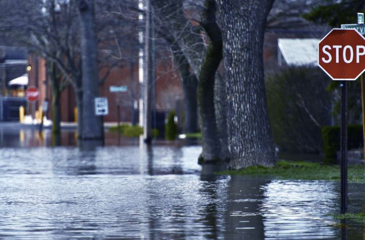
In neighborhoods facing repeated and severe flooding, permanent protection may be technically unrealistic or financially unsustainable. Voluntary property acquisition, preventive resettlement, or managed retreat may provide a safer long-term option.
Cities can convert acquired land into wetlands, parks, drainage corridors, or green buffer zones. Authorities should handle these programs transparently and equitably, especially when relocating residents or critical facilities.
Which Gray Infrastructure Upgrades Still Matter?
Green infrastructure cannot replace every pipe, pump, culvert, tunnel, or flood barrier. Dense downtowns and heavily developed neighborhoods often lack enough open land to manage major storms entirely above ground.
That is why flood-resilient urban planning strategies must combine blue-green systems with upgraded gray infrastructure.
Cities may need to enlarge storm drains, rehabilitate culverts, modernize pump stations, repair combined sewers, install detention tanks, and construct underground modular reservoirs beneath plazas or parking areas. These subsurface systems can capture peak flows and release them gradually after drainage capacity becomes available.
Separating stormwater from sanitary wastewater can also reduce sewer backups and overflow risks. Where practical, decentralized systems may capture rainwater for irrigation, nonpotable reuse, or controlled infiltration rather than sending every gallon into the same network.
How Can Existing Buildings Be Retrofitted for Flooding?
Cities should update building regulations to protect both new and existing structures. Flood-resistant design may include elevated finished floors, water-resistant materials, backflow valves, flood vents, protected entrances, and mechanical or electrical equipment placed above expected flood levels.
FEMA building guidance connects flood-resistant design with established building codes and standards such as ASCE 24.
Hospitals, fire stations, power systems, water facilities, emergency shelters, and transit assets require additional safeguards. Backup power has limited value if floodwater blocks every access road, so resilience planning must protect both the facility and the systems that connect it to the community.
How Can Smart Monitoring Improve Flood Warnings?
Modern flood management should combine physical infrastructure with radar, rain gauges, water-level sensors, satellites, remote sensing, GIS mapping, and predictive models.
NOAA uses radar, gauges, satellites, and hydrologic forecasting to improve flood detection and warning specificity. Its FLASH system runs forecasts at frequent intervals across the country, while the National Water Prediction Service provides expanding flood-inundation mapping coverage.
Cities can connect these tools to street-level sensors and localized alert systems. Hyperlocal warnings can identify unsafe intersections, recommend evacuation routes, close vulnerable roads, and help emergency teams respond before conditions escalate.
Artificial intelligence may improve pattern detection and forecasting, but cities should treat it as a decision-support tool rather than a substitute for experienced emergency managers and verified field data.
Why Must Flood Planning Address Social Vulnerability?
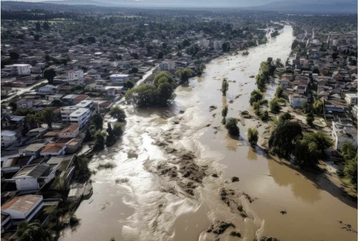
Flood exposure is not distributed equally. Lower-income neighborhoods may have weaker drainage, fewer trees, aging housing, limited insurance coverage, and fewer transportation options during an evacuation.
Cities should create socioeconomic vulnerability action plans that identify residents who may need accessible shelters, multilingual warnings, transportation assistance, medical support, or additional evacuation time.
Multiuse community shelters and pre-mapped evacuation routes should be located where residents can realistically reach them. Planners should also consult renters, older adults, people with disabilities, neighborhood groups, and residents with limited English proficiency before finalizing investments.
Who Should Coordinate Urban Flood Resilience?
Flood planning often fails when weather agencies, public works departments, housing officials, emergency managers, transportation agencies, utilities, and community organizations work separately.
A city-level multi-sector task force can coordinate hazard mapping, zoning, capital spending, infrastructure maintenance, public communication, and post-flood recovery. The task force should also track measurable outcomes, including stormwater storage capacity, recurring road closures, properties repeatedly flooded, service recovery time, warning coverage, and maintenance completion.
Frequently Asked Questions (FAQs)
1. What is flood-resilient urban planning?
It is a planning approach that reduces flood exposure through safer land use, green infrastructure, upgraded drainage, resilient buildings, warning systems, and coordinated recovery planning.
2. Can green infrastructure prevent all urban flooding?
No. Green infrastructure can reduce and slow runoff, but major storms usually require a combination of natural systems and engineered drainage infrastructure.
3. What is the difference between pluvial and fluvial flooding?
Pluvial flooding occurs when heavy rainfall overwhelms local drainage or accumulates on the ground. Fluvial flooding occurs when rivers or streams exceed their channels.
4. What should cities prioritize first?
Cities should begin with updated hazard and vulnerability mapping, then protect high-risk populations, critical infrastructure, natural drainage areas, and future development sites.
How Can US Cities Build Long-Term Flood Resilience?
I do not believe one signature project can make an entire city flood-safe. A large tunnel may reduce sewer overflows but cannot correct risky land development. A new wetland may store runoff but cannot protect a hospital with vulnerable electrical systems.
Even adaptive reuse of historic buildings in urban planning must account for flood exposure, drainage limits, and the resilience of older structural and electrical systems.
The strongest flood-resilient urban planning strategies layer prevention, absorption, protection, warning, and recovery. By combining enforceable zoning, sponge-city design, restored natural systems, modern drainage, safer buildings, predictive monitoring, and equitable emergency planning, US cities can reduce losses while creating healthier and more adaptable neighborhoods.