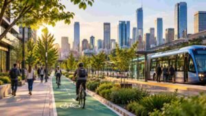

Imagine a city where every rainfall becomes an opportunity instead of a threat. Rather than watching storm drains overflow and streets flood after every downpour, communities can transform rooftops, sidewalks, parks, and public spaces into living systems that naturally capture and clean rainwater. That’s the promise of green infrastructure planning for stormwater management.
I see this approach reshaping how US cities prepare for heavier storms, aging drainage systems, and growing urban development. By combining nature-based solutions with existing infrastructure, municipalities can reduce runoff, improve water quality, strengthen climate resilience, and create healthier neighborhoods without relying solely on larger pipes and costly drainage expansions.
Why Are US Cities Turning to Green Stormwater Infrastructure?
Conventional gray infrastructure moves water through storm drains, pipes, channels, and detention systems. These assets remain essential, but they can become overwhelmed when development increases impervious cover or storms produce more runoff than the network can handle.
Green stormwater infrastructure reduces pressure on those systems by capturing water before it enters a pipe. It can also reduce localized flooding, filter contaminants, improve groundwater recharge, expand green space, lower urban heat, and limit flood-related property damage.
The goal is not to replace every storm drain. Cities achieve stronger results when they combine natural drainage features with existing gray infrastructure to form a connected, hybrid system.
What Principles Make a Green Infrastructure Plan Effective?
How Does Multifunctional Design Create More Public Value?
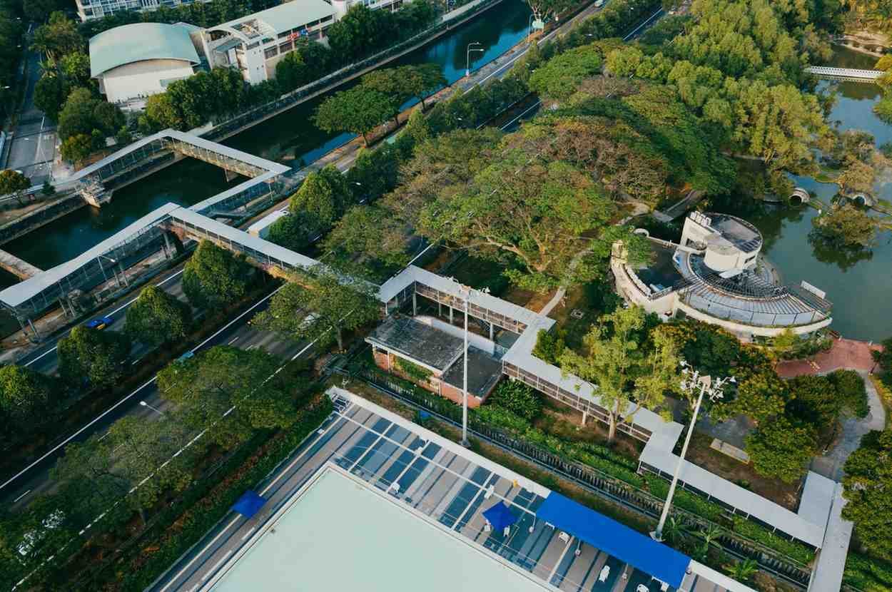
A well-planned installation should solve more than one problem. A floodable park can temporarily store runoff while providing recreation. Street trees can intercept rainfall while shading sidewalks. A landscaped bioretention area can filter roadway pollutants while improving the appearance of a commercial corridor.
This multifunctional approach can help municipalities connect stormwater investments with public health, transportation, neighborhood improvement, climate resilience, and park funding.
Why Must Green Infrastructure Projects Be Connected?
An isolated rain garden may improve one site, but a connected network can manage runoff across an entire drainage area. Planners should link green streets, parks, tree trenches, wetlands, rooftops, and redevelopment sites according to natural flow paths.
Connectivity prevents projects from becoming decorative features with limited hydrological value. It also helps planners manage water from the individual property scale to the neighborhood, city, and watershed scales.
How Should Cities Integrate Green and Gray Infrastructure?
Green systems can handle frequent rainfall by slowing, storing, and infiltrating runoff, while pipes and drains provide controlled overflow during larger storms. EPA’s Storm Water Management Model can evaluate both gray infrastructure and cost-effective hybrid green-gray control strategies.
How Can Planners Find the Best Green Infrastructure Sites?
A strong plan begins with site suitability analysis. Municipal teams can use Geographic Information System mapping to examine topography, slopes, land cover, impervious surfaces, drainage density, flood complaints, utility locations, groundwater conditions, and hydrologic soil groups.
Sandy or well-drained soils may support infiltration, while compacted or clay-heavy areas may require engineered soil, underdrains, or storage-based systems. Low-lying land may appear suitable, but planners must also evaluate groundwater depth, contamination, utility conflicts, structural conditions, and safe overflow routes.
Local knowledge matters as much as mapping. Public works crews, residents, emergency responders, and neighborhood organizations often know which intersections, yards, and public properties flood repeatedly.
Which Green Infrastructure Assets Work Best in Urban Areas?
Where Should Cities Install Bioswales?
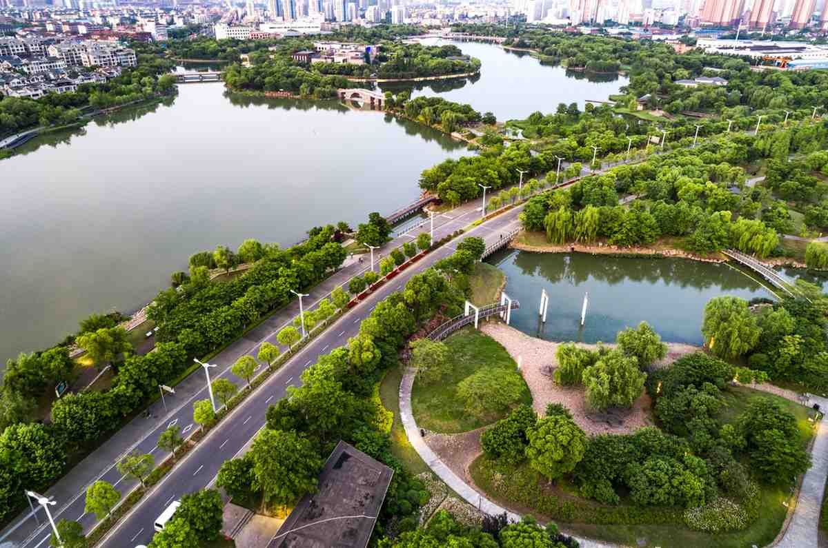
Bioswales and vegetated swales convey, slow, and filter runoff. They often work beside roads, parking lots, highways, medians, and large developments where water moves along a predictable path.
When Is Permeable Pavement a Good Choice?
Permeable pavement allows water to pass through surface openings into an underlying stone layer for storage or infiltration. It can work well on sidewalks, plazas, alleys, driveways, and lower-traffic parking areas. It may not be appropriate for locations exposed to heavy traffic, frequent braking, or substantial sediment loads.
Where Do Green Roofs Deliver the Most Value?
Green roofs retain and delay rooftop runoff, making them useful in dense downtown areas where ground-level space is scarce. Their performance varies according to growing-medium depth, vegetation, climate, roof design, and the timing of previous rainfall.
How Do Rain Gardens and Urban Trees Manage Runoff?
Rain gardens and bioretention cells capture localized runoff from roofs, lawns, streets, and parking areas. Deep-rooted native plants help stabilize soil and support infiltration.
Urban tree canopies intercept rainfall before it reaches pavement, while tree trenches can store runoff beneath sidewalks and promote passive irrigation. These systems work particularly well in dense streets, plazas, school grounds, and commercial corridors.
At a larger scale, restored wetlands, infiltration basins, greenways, and floodable parks can store substantial volumes and support watershed-scale stormwater management.
How Does SWMM Improve Stormwater Planning?
Engineering teams can use the US EPA’s Storm Water Management Model, commonly called SWMM, to simulate runoff and drainage-system performance. Planners can enter rainfall records, land-cover conditions, slopes, soils, drainage areas, pipes, and proposed low-impact development controls.
Rather than predicting results with absolute certainty, the software estimates how different designs may perform under selected storm scenarios. Teams can compare existing conditions with proposed green and gray infrastructure, identify bottlenecks, and test how much runoff the system may capture or delay.
How Can US Municipalities Fund Green Infrastructure?
Cities need stable funding to move beyond small demonstration projects. Common options include stormwater utility fees, capital improvement budgets, state and federal grants, environmental bonds, transportation programs, redevelopment funds, and public-private partnerships.
Many municipalities base stormwater fees partly on a property’s impervious surface area because larger paved areas often generate more stormwater runoff. They may then offer credits or discounts to owners who install approved rain gardens, green roofs, infiltration trenches, permeable pavement, or vegetated swales. EPA resources document impervious-area fee structures and green infrastructure credit programs in US municipalities.
Local codes can also require or encourage runoff reduction during new construction and redevelopment. Planners should integrate these standards into zoning, subdivision regulations, street design, and municipal capital planning.
Why Do Maintenance Plans Determine Long-Term Success?
Because green infrastructure depends on vegetation, soil, inlets, drains, and porous surfaces, it requires routine care. Every project should identify who will inspect it, how often inspections will occur, what performance standards apply, and which department will pay for repairs.
Permeable pavement generally needs regular inspection and vacuum sweeping to prevent sediment from clogging surface pores. Minnesota stormwater guidance recommends at least annual vacuum sweeping, with additional cleaning when sediment accumulates.
Maintenance teams should also remove sediment from inlets, inspect engineered soil, replace failed vegetation, control weeds, prune plants, repair erosion, and check overflow structures. Photographic audits and mobile inspection checklists can help crews document changes and track structural condition over time.
How Can Cities Make Stormwater Investment More Equitable?
Flood exposure, tree cover, infrastructure quality, and access to parks vary widely across US neighborhoods. Cities should combine drainage data with information about income, health vulnerability, historic underinvestment, housing conditions, and heat exposure.
Community engagement should begin before a project is selected. Residents can identify overlooked flooding, transportation barriers, safety concerns, and desired public-space improvements. The American Planning Association’s green infrastructure resources specifically address financing, community engagement, equity, and environmental justice.
How Should Cities Measure Green Infrastructure Performance?
Municipalities should track runoff-volume reduction, peak-flow reduction, infiltration, pollutant removal, maintenance costs, vegetation survival, flood complaints, and avoided property damage. They can also evaluate added tree canopy, lower surface temperatures, improved green-space access, and resident satisfaction.
Cities do not need sensors on every installation. Detailed monitoring at representative sites, combined with routine visual inspections elsewhere, can provide enough information to improve future designs.
What Green Infrastructure Planning Mistakes Should Cities Avoid?
Common errors include selecting projects only because vacant land is available, installing isolated demonstration sites, overlooking underground utilities, underestimating sediment, and failing to assign maintenance responsibilities.
Projects can also fail when designers prioritize appearance over storage capacity, infiltration, overflow routing, or suitable plant selection. Planners must evaluate the complete drainage area so one improvement does not simply move water downstream.
Frequently Asked Questions (FAQs)
1. What is the first step in planning green infrastructure?
The first step is defining measurable stormwater goals and mapping runoff, flood risk, impervious surfaces, soils, utilities, and potential project sites.
2. Can green infrastructure replace municipal storm drains?
It generally complements rather than completely replaces storm drains. Hybrid systems use green features for capture and treatment while retaining gray infrastructure for conveyance and overflow.
3. Which green infrastructure practice is best for a city street?
Bioswales, curbside rain gardens, tree trenches, and permeable sidewalks often work well, but the best option depends on space, soils, traffic, utilities, and maintenance capacity.
4. How often should permeable pavement be cleaned?
Inspection frequency depends on local conditions, but annual vacuum sweeping is a common minimum recommendation. Sites with visible sediment accumulation may require more frequent cleaning.
Building a Connected and Resilient Stormwater Network
I see green infrastructure planning for stormwater management as a fundamental infrastructure strategy rather than an optional landscaping program. It also plays an important role in broader flood resilient urban planning strategies by helping cities manage runoff, reduce drainage pressure, and protect vulnerable neighborhoods. Its success depends on multifunctionality, connectivity, green-gray integration, and coordinated action from individual properties to entire watersheds.
By combining GIS analysis, suitable asset selection, SWMM modeling, equitable investment, reliable funding, and long-term maintenance, US cities can reduce runoff while creating cooler, healthier, and more attractive neighborhoods.
A carefully planned network will not eliminate every flood, but it can lower everyday drainage pressure and help communities prepare more effectively for future storms.