I started noticing how much of a normal day disappears into small trips. A grocery run needs a car, a quick appointment means checking traffic, and visiting a park can involve more planning than the visit itself. These routines can feel unavoidable, but they reveal how neighborhood design shapes the time, money, and energy people have left.
I have come to see accessibility as more than how close places look on a map. A useful neighborhood lets people reach everyday destinations safely and comfortably, whether they walk, bike, use a wheelchair, take transit, or drive when necessary. That is the promise of 15-minute city planning: making daily life easier without assuming everyone has the same needs.
What 15-Minute City Planning Really Means
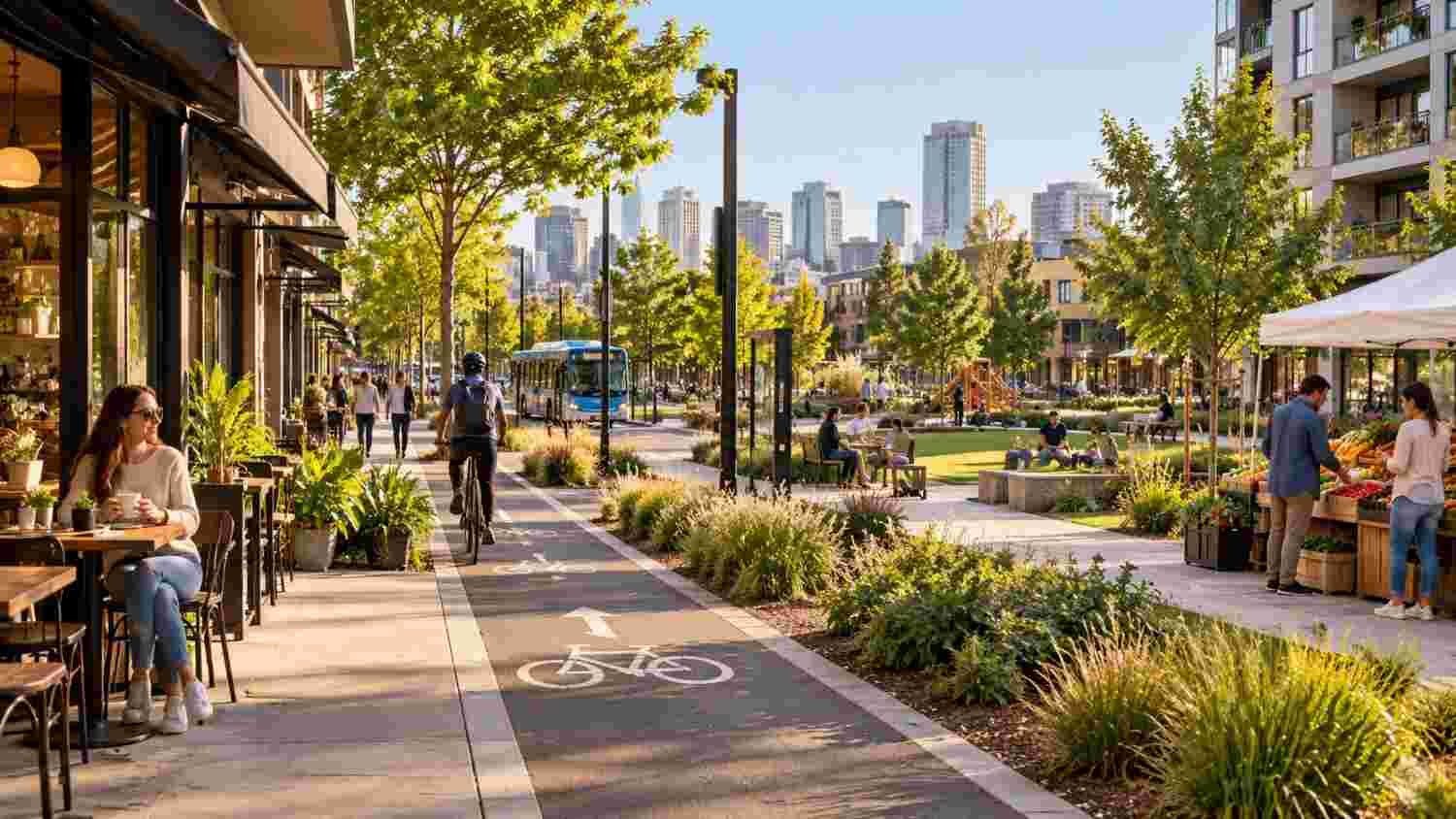
The 15-minute city model aims to put common needs within a 15-minute walk or bike ride from home. These include groceries, schools, health services, parks, jobs, and places to meet others. It is not about eliminating cars, but giving people more choices for ordinary trips.
Proximity works best when housing, shops, public spaces, and services are mixed together. Density alone does not help if residents still depend on distant destinations. Varied uses can keep streets active and support local businesses.
Accessibility Is More Than Distance
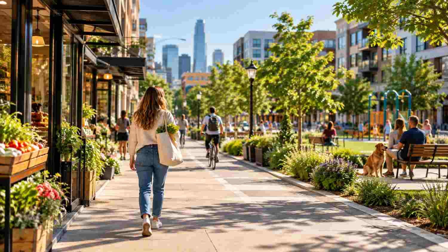
A clinic may appear half a mile away on a map, yet reaching it could mean crossing a wide road, navigating broken sidewalks, or waiting for an infrequent bus. Real accessibility depends on the route, not simply the radius around a home. Safe crossings, connected streets, lighting, curb ramps, shade, and reliable transit determine whether a nearby destination is usable.
A child, an older adult, a wheelchair user, and a parent pushing a stroller can experience the same block differently. Universal design and maintained pedestrian infrastructure support independent travel. Service quality matters, too: a nearby clinic is of limited use if it cannot provide needed care.
Planning Choices That Bring Daily Needs Closer
Zoning can allow grocery stores, childcare, health services, and businesses near homes. Reusing vacant storefronts creates destinations, while housing near schools, parks, and transit can shorten trips if services keep pace.
Street design matters too. Continuous sidewalks, protected bike lanes, slower traffic, safe intersections, and frequent transit make short trips practical. Route maps can reveal missing links, while residents identify hazards such as crossings they avoid after dark.
Local businesses may gain regular customers when residents can reach shops and cafés on foot. The goal is to connect useful places while preserving neighborhood character.
Designing for Equity and Everyday Needs
A successful plan asks which residents lack access now. Lower-income neighborhoods may have fewer parks, grocery stores, clinics, or safe walking routes. Investment should address those gaps rather than improve only already desirable districts. Affordable housing, tenant protections, and support for small businesses can help residents benefit from change.
Better access can also raise rents. Without safeguards, people meant to benefit from neighborhood investment may be priced out. Cities can pair new amenities with affordable housing requirements, preserve lower-cost homes, and involve residents early. Accessibility includes affordability: a destination can be nearby but still out of reach if its services cost too much.
Making Walkable Neighborhoods Work in a Changing Climate
Comfort affects whether people choose to walk or bike. In hot neighborhoods, long stretches without shade can make a short trip exhausting, particularly for older adults. Trees, shaded bus stops, drinking fountains, and green spaces can make local mobility more practical. Urban heat island mitigation through spatial planning belongs in neighborhood design: shade and vegetation should follow the routes people use, not sit only in isolated showcase parks.
Climate-conscious planning also considers stormwater and access to cooling spaces. Green corridors can provide shade and manage runoff, but need maintenance and connections to homes and transit. Improvements should reflect local climate risks.
Using Urban Data to Test Better Decisions

Geographic information systems help planners compare travel times and identify underserved blocks. But maps need ground-level checks: a missing curb ramp or unsafe crossing can make a route difficult. Residents can verify what data overlooks.
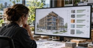
Tools such as urban digital twins for climate adaptation can help teams test scenarios before committing public funds. Planners might model where trees could reduce heat exposure, how a transit stop changes access, or whether new housing could strain nearby services. These models depend on good data and clear assumptions. They should inform public decisions, not replace them.
The Challenges Cities Must Address
The model cannot be copied identically everywhere. Rural areas and low-density suburbs face different constraints from dense urban neighborhoods, and some specialized medical visits or jobs will remain farther away. The goal is not to eliminate all travel, but to shorten routine trips and offer realistic alternatives to driving.
Implementation requires coordination among transportation, housing, education, and transit agencies. Sidewalks alone cannot solve access problems if intersections remain dangerous or services are missing. Cities can track destination access, sidewalk quality, transit frequency, housing affordability, and residents’ experiences.
FAQs: 15-Minute City Planning and Neighborhood Accessibility: What Makes a City Work Better
1. What is a 15-minute city?
It is an urban planning approach that aims to make everyday needs, such as groceries, parks, schools, and basic health services, reachable within about 15 minutes on foot or by bike.
2. How does it improve neighborhood accessibility?
It combines nearby destinations with safe walking routes, cycling infrastructure, connected streets, and transit. Distance alone does not guarantee practical access.
3. Can the model work in car-dependent suburbs?
Yes, although changes may take time. Suburbs can add local shops, improve sidewalks, connect trails, and locate more housing near transit and existing centers.
4. How can cities make these neighborhoods inclusive?
They can prioritize underserved areas, design for disabled residents, protect affordable housing, and ask local communities which services and improvements matter most.
Better Cities Begin With Everyday Journeys
The strongest 15-minute neighborhoods are not defined by a perfect circle on a map. They are defined by ordinary experiences: reaching a store without a dangerous crossing, visiting a park without arranging a ride, or attending an appointment without losing half a day. Achieving that takes thoughtful land use, reliable infrastructure, accessible services, and housing policies that let existing residents share the benefits. The test is practical: can more people meet daily needs safely, affordably, and with less wasted time?
A city works better when its design gives people more options, not more obstacles.