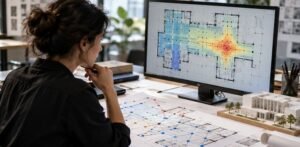
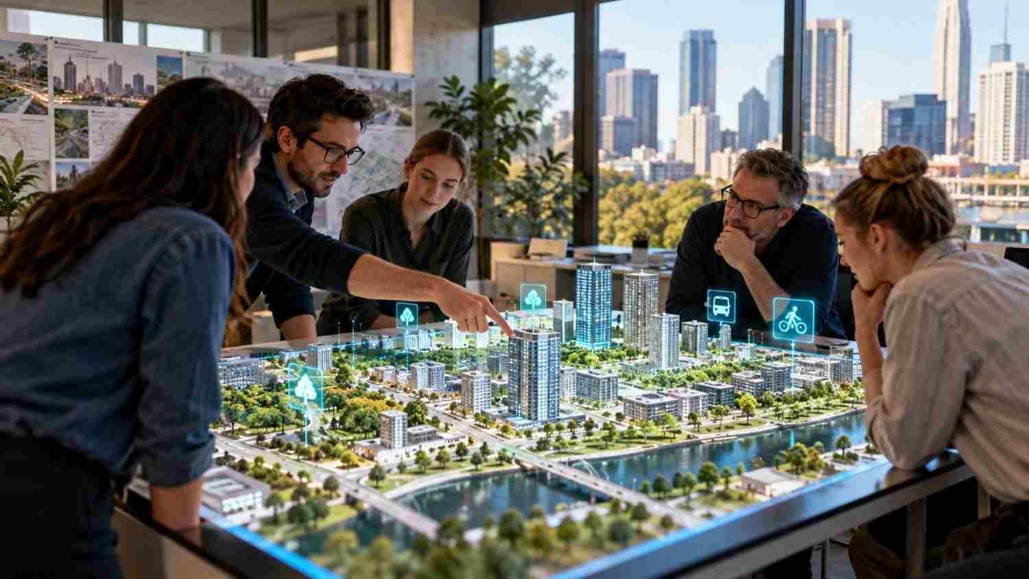
I started noticing how often neighborhood plans are presented as finished drawings, even when the people who live there have barely had a chance to respond. A new road may look efficient on a map, for example, while creating a difficult crossing for a nearby school or cutting off access to a small park. Seeing a proposal clearly can change the conversation.
I have also found that public meetings work best when people can point to a specific place and explain what happens there every day. Digital twins offer a way to make that exchange more concrete. Instead of asking residents to interpret technical plans alone, planners can show possible changes, test alternatives, and invite people to challenge assumptions before construction begins.
Understanding Digital Twins in Urban Planning
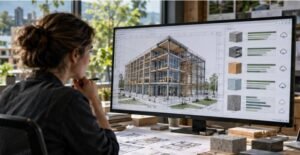
An urban digital twin represents a real place using maps, building models, infrastructure records, and environmental measurements. Depending on the system, it may use frequently updated data to simulate neighborhood changes. A static 3D model shows what exists; a more capable twin helps explore what might happen next.
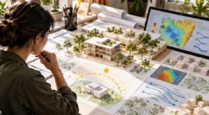
For designers, the model creates a shared reference point. Residents can examine how a building may affect sunlight, how an intersection could influence traffic, or where trees might cool a paved street. It cannot predict every outcome, but it makes assumptions visible and gives people something specific to question.
Turning Public Feedback Into Co-Design
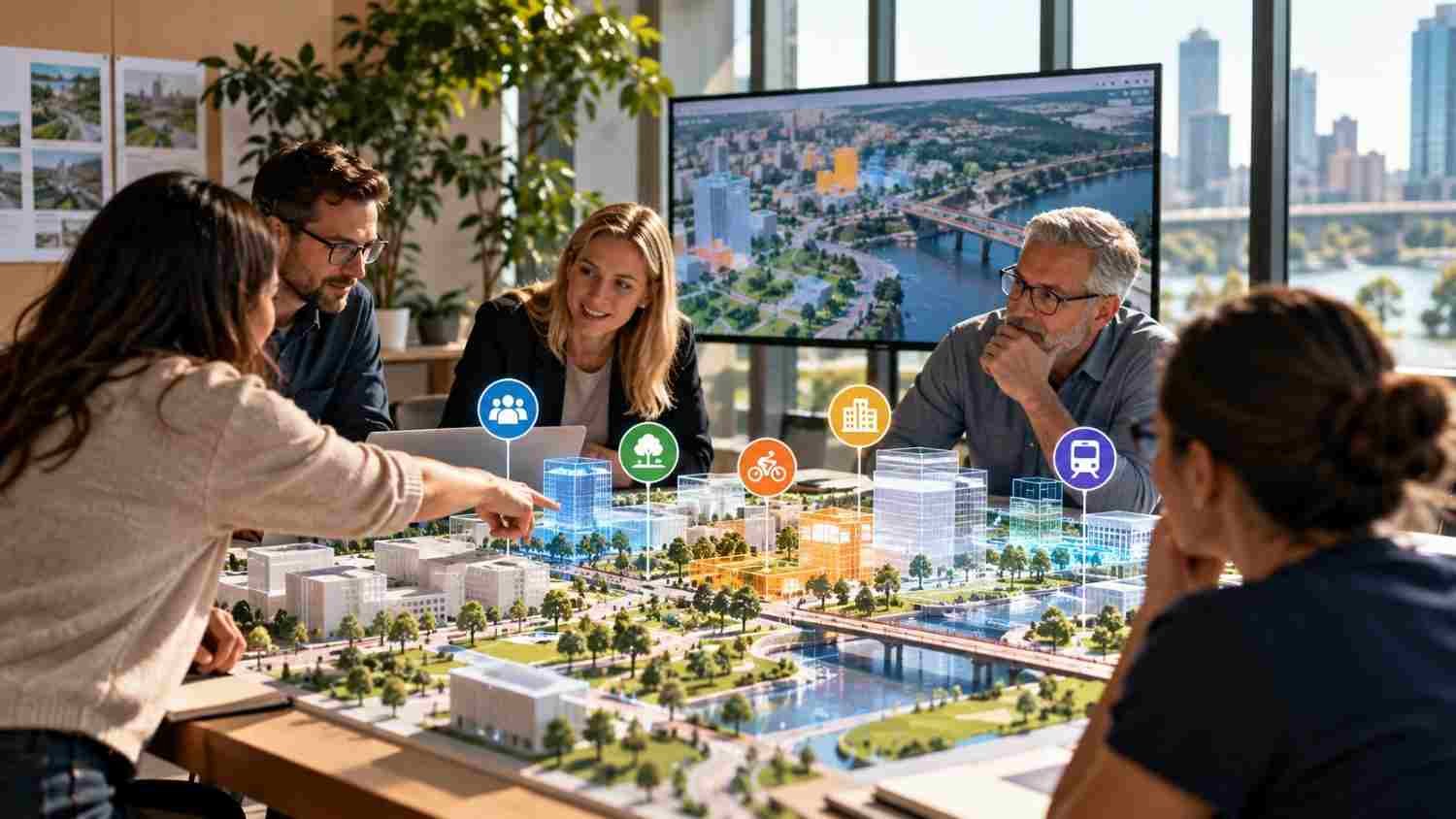
Public engagement often relies on planning documents and meetings where technical drawings are hard to interpret. A digital twin makes options easier to compare. Planners can display street layouts, move a bus stop, or model a bike lane while residents discuss safety, access, noise, and convenience.
Participation works best when it starts early. If a project is already approved, a polished model can become a presentation tool rather than an invitation to shape the outcome. Residents should be able to raise concerns, suggest alternatives, and know which decisions remain open. Planners should explain what changed because of public input and why some suggestions could not be adopted. A clear record of decisions also helps residents see whether consultation made a measurable difference.
Workshops, neighborhood walks, online maps, and meetings can feed into one process. Residents who cannot attend should still have a way to contribute. Digital participation should widen the conversation, not become its only doorway.
Where Digital Twins Can Improve City Design
Digital twins can inform transportation, housing, public spaces, utilities, and climate adaptation. A city could compare traffic and pedestrian movement before changing a busy corridor. For a proposed development, residents might examine building height, shade, public access, and nearby services.
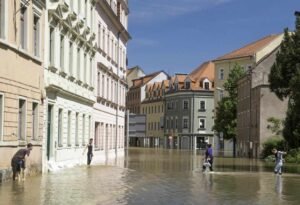
Climate resilience is another application. Planners can test how rain moves through streets, where drainage may fail, and how tree cover or permeable surfaces reduce heat and runoff. Used alongside nature-based solutions for flood-resilient cities, a digital twin helps compare rain gardens, wetlands, street trees, and restored waterways with conventional drainage improvements.
Models can also reveal what citywide averages hide. A project may improve travel times while leaving a lower-income neighborhood with unsafe crossings or limited transit. Combining local observations with GIS mapping for urban vulnerability assessment helps planners identify risks and prioritize investment. The model should support analysis, not replace conversations with residents.
Making Participation Fair and Trustworthy
Technology does not make planning inclusive by itself. Interfaces can be difficult, internet access is uneven, and some residents may struggle with complex 3D tools. Older adults, people with disabilities, people who speak other languages, and households with limited connectivity can be excluded if digital access is assumed.
Cities should offer accessible web tools, translated materials, phone or paper submissions, workshops, and staffed sessions at libraries or community centers. Residents need not become technical experts; they need understandable choices and a genuine route to provide feedback.
Privacy and governance matter, too. Models may combine location records, traffic patterns, sensor readings, and information about public spaces. Agencies should explain what they collect, who can access it, and how long it is kept. Personal information should not be exposed merely to make a model more detailed. Clear rules and independent review help build trust.
A digital twin can reinforce existing priorities, too. If data underrepresents a neighborhood or the model optimizes only for speed and cost, recommendations may look objective while missing lived experience. Planners should disclose assumptions, test uneven effects, and explain uncertainty. Community input must receive a response, not simply be collected.
From Digital Models to Shared Decisions
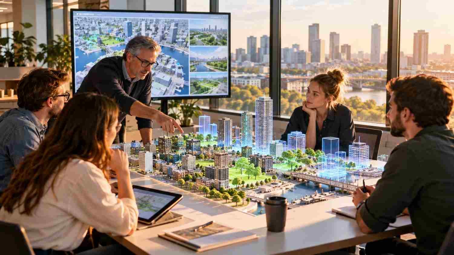
The most useful digital twin is not necessarily the most impressive. It should clarify trade-offs, surface overlooked concerns, and connect public input to explainable decisions. Cities should set goals before investing and assess whether participation becomes broader and more influential.
A practical starting point is a small neighborhood project with a clear question, reliable data, and a promise to report back. Teams can test a crossing, park renovation, or flood mitigation plan, then publish what residents said and how the proposal changed. That feedback loop creates accountability.
FAQs: Exploring Participatory Urban Planning Using Digital Twins in Modern City Design
1. What is a digital twin in urban planning?
It is a digital representation of a real urban area that combines spatial and operational data. Depending on its capabilities, it can help planners visualize current conditions and test proposed changes.
2. How can residents participate?
Residents can review alternatives, comment on locations, join workshops, identify local problems, and suggest improvements. Effective programs also explain how feedback influences final decisions.
3. Do digital twins make planning automatically more democratic?
No. Participation still depends on accessible tools, representative data, transparent governance, and officials willing to respond to community concerns.
4. What are the main limitations?
Common barriers include cost, outdated or incomplete data, privacy concerns, difficult interfaces, unequal internet access, and a lack of clear links between public feedback and decisions.
Better City Design Starts With Listening
Digital twins can make urban change easier to see before it becomes costly to reverse. Their promise is not a flawless copy of a city, but a shared space where residents and planners compare ideas, question evidence, and consider consequences. That takes careful data management, honest communication, and a willingness to reconsider plans when local knowledge reveals something the model missed.
A city becomes more inclusive when people can see their options and know their voices count.